


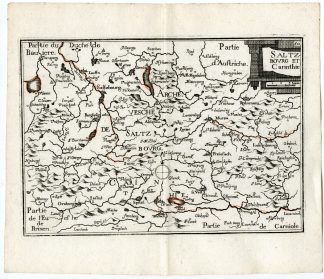
Description
Medium: Engraving with hand coloring on hand-laid (verge) paper.
Sheet size: 52 x 46 cm (20.47 x 18.11 inch). Image size: 35.7 x 35.7 cm. (14.06 x 14.06 inch).
Condition: good, given age. Light foxing, creasing, minor soiling, and a small tear in the bottom right paper edge. General age-related toning and/or occasional minor defects from handling. Please study scan carefully.
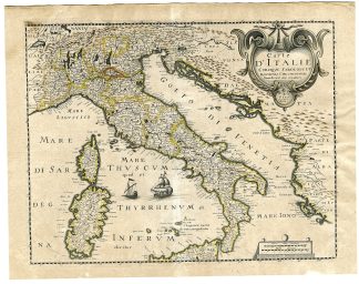
ANTIQUE MAP, ITALY MAP, CORSICA, SARDINIA, 17TH-CENTURY MAP, MARIETTE, PARIS, 1641, FRENCH CARTOGRAPHY, HISTORICAL MAP, HAND-COLORED ENGRAVING | MAPS-FOREIGN
BACKGROUND INFORMATION
Published by Pierre Mariette, Paris, 1641.
Biography engraver: Pierre Mariette (1603-1657) was a renowned French engraver and map publisher. He was part of a prominent family of printsellers, known for producing fine maps and engravings in 17th-century Paris. His son, Pierre-Jean Mariette, continued the family’s legacy as a major collector and connoisseur of Old Master prints and drawings.

Reviews
There are no reviews yet.