


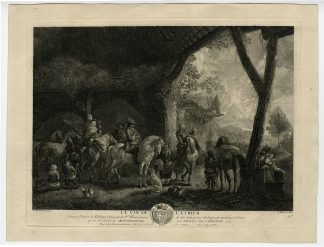
Description
Medium: Copper engraving on hand laid (verge) paper.
Sheet size: 28.8 x 47.4 cm (11.34 x 18.66 inch). Image size: 25 x 41 cm. (9.84 x 16.14 inch).
Condition: very good, given age. Light foxing, creasing and soiling. Backed right edge. General age-related toning and/or occasional minor defects from handling. Please study scan carefully.
BLAEU ATLAS, THEATRUM URBIUM BELGICAE, UNITED PROVINCES, DUTCH GOLDEN AGE CARTOGRAPHY, HERALDIC ENGRAVINGS, DUTCH HISTORY, 17TH-CENTURY MAPS, CITY ATLAS TITLE PAGES, JOAN BLAEU, ANTIQUE BOOK ILLUSTRATIONS | MAPS-LARGE
BACKGROUND INFORMATION
Toonneel der steden van de Vereenighde Nederlanden, Joan Blaeu, Amsterdam, 1652.
Reference: David Rumsey Map Collection, List No. 16224.002.
Biography engraver: Joan Blaeu (1596-1673) was a Dutch cartographer and publisher, son of Willem Janszoon Blaeu. He was responsible for expanding his father’s cartographic empire, producing high-quality atlases, city books, and celestial maps. His Atlas Maior is one of the most famous cartographic works of the 17th century.
Biography artist: Willem Janszoon Blaeu (1571-1638) was a Dutch mapmaker, publisher, and engraver. He founded the Blaeu publishing house, producing influential maps and atlases. His son Joan Blaeu continued and expanded the family’s legacy in cartography.


Reviews
There are no reviews yet.