
 Print
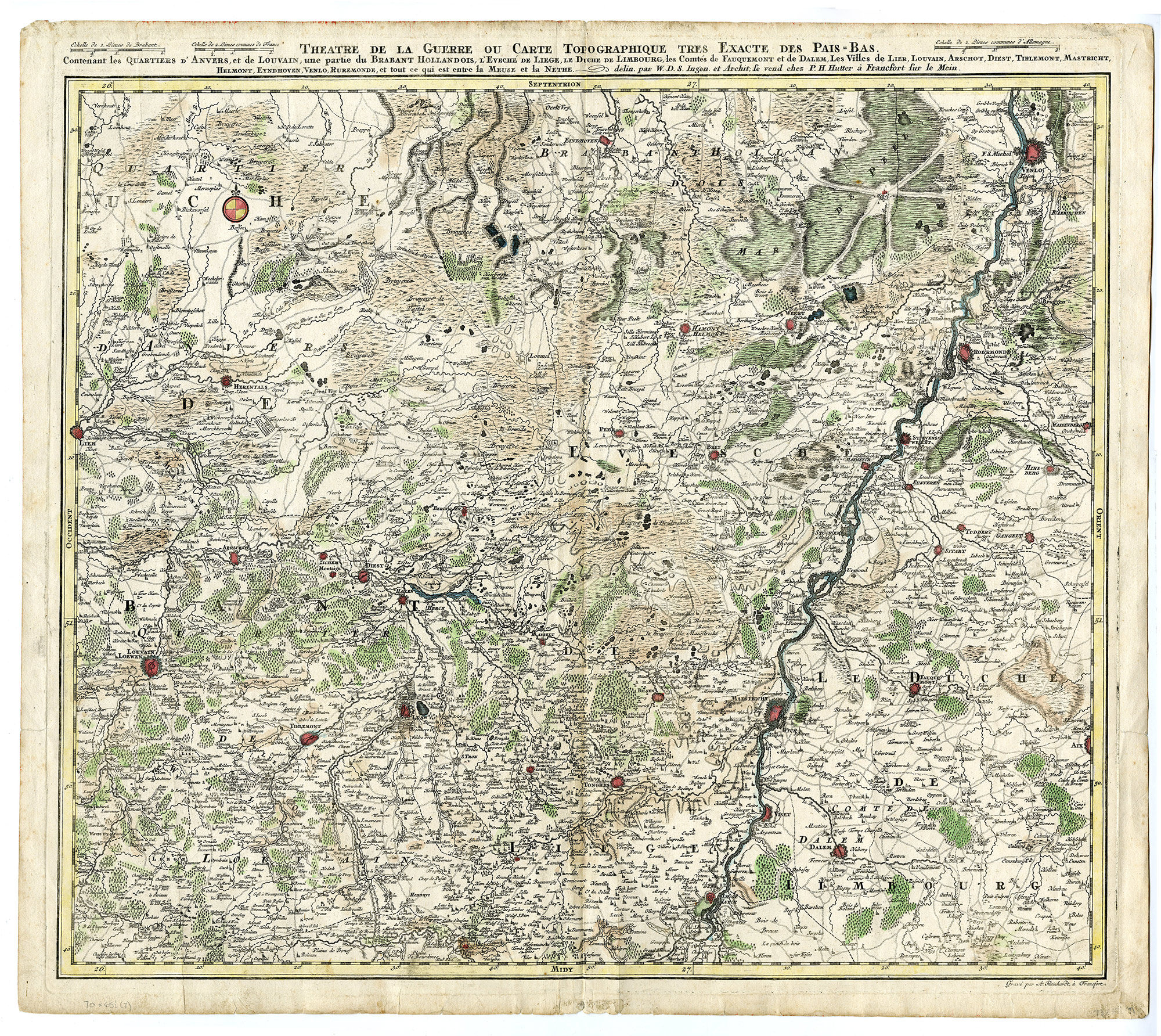
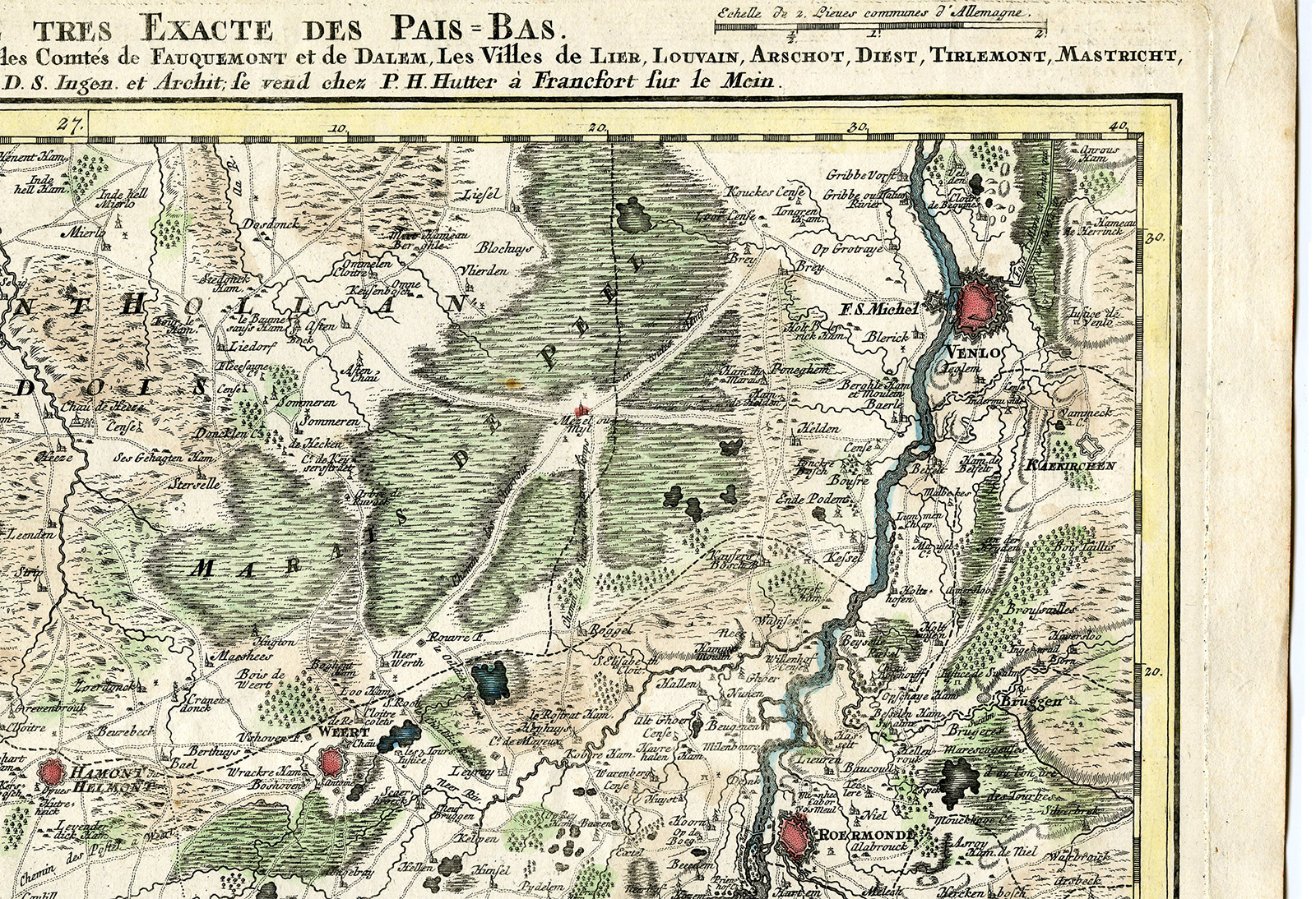
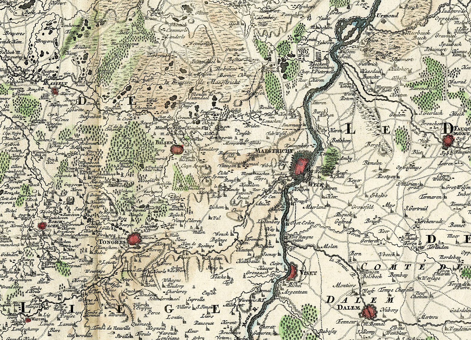
Print Description
Medium: Copper engraving, hand-colored on hand laid (verge) paper.
Sheet size: 59.5 x 52.4 cm (23.43 x 20.63 inch). Image size: 55.3 x 47.9 cm. (21.77 x 18.86 inch).
Condition: good, given age. Light foxing, creasing, soiling, and some minor fold marks. General age-related toning and/or occasional minor defects from handling. Please study scan carefully.
NETHERLANDS HISTORY, SPANISH NETHERLANDS, AUSTRIAN NETHERLANDS, MILITARY MAPS, 18TH-CENTURY CARTOGRAPHY, ANTIQUE ENGRAVED MAPS, FRANKFURT PUBLISHERS, P.H. HUTTER, W.D.S., ANDREAS REINHARDT | MAPS-LARGE
BACKGROUND INFORMATION
Published by P.H. Hutter, Frankfurt am Main, 18th century.
Reference: BnF Catalogue: http://catalogue.bnf.fr/ark:/12148/cb40673237k.
Biography engraver: Andreas Reinhardt was an 18th-century engraver known for his work on maps and geographic illustrations. He collaborated with several cartographers and publishers, mainly in Germany and the Netherlands.
Biography artist: W.D.S. was an 18th-century cartographer known for his topographical and military maps of the Netherlands and surrounding regions.


Reviews
There are no reviews yet.