


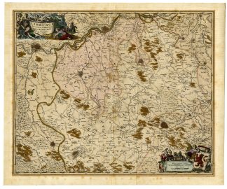
Description
Medium: Copper engraving, original hand-colored on hand laid (verge) paper.
Sheet size: 62 x 52 cm (24.41 x 20.47 inch). Image size: 47 x 57 cm. (18.5 x 22.44 inch).
Condition: very good, given age. Middle fold as issued. Ghosting from previous matting. Light foxing, creasing and soiling. Paper edges backed. General age-related toning and/or occasional minor defects from handling. Please study scan carefully.
LIMBURG, VALKENBURG, BELGIUM, NETHERLANDS, ANTIQUE MAP, NICOLAES VISSCHER, CLAES JANSZ. VISSCHER, 17TH-CENTURY CARTOGRAPHY, HISTORICAL GEOGRAPHY, MAASTRICHT, ATLAS MINOR | MAPS-EXPO-LARGE
BACKGROUND INFORMATION
“Atlas Minor,” published in Amsterdam by Nicolaes Visscher.
Reference: Koeman Vis 19, P. 169-170.
Biography engraver: Nicolaes Visscher (1649-1702) was a Dutch cartographer, engraver, and publisher, son of Nicolaes Visscher I (1618-1679) and grandson of Claes Jansz. Visscher (1587-1652). The Visscher family was known for their highly detailed and beautifully engraved maps, which became important references for European cartography.

Reviews
There are no reviews yet.