

 Print
Print Description
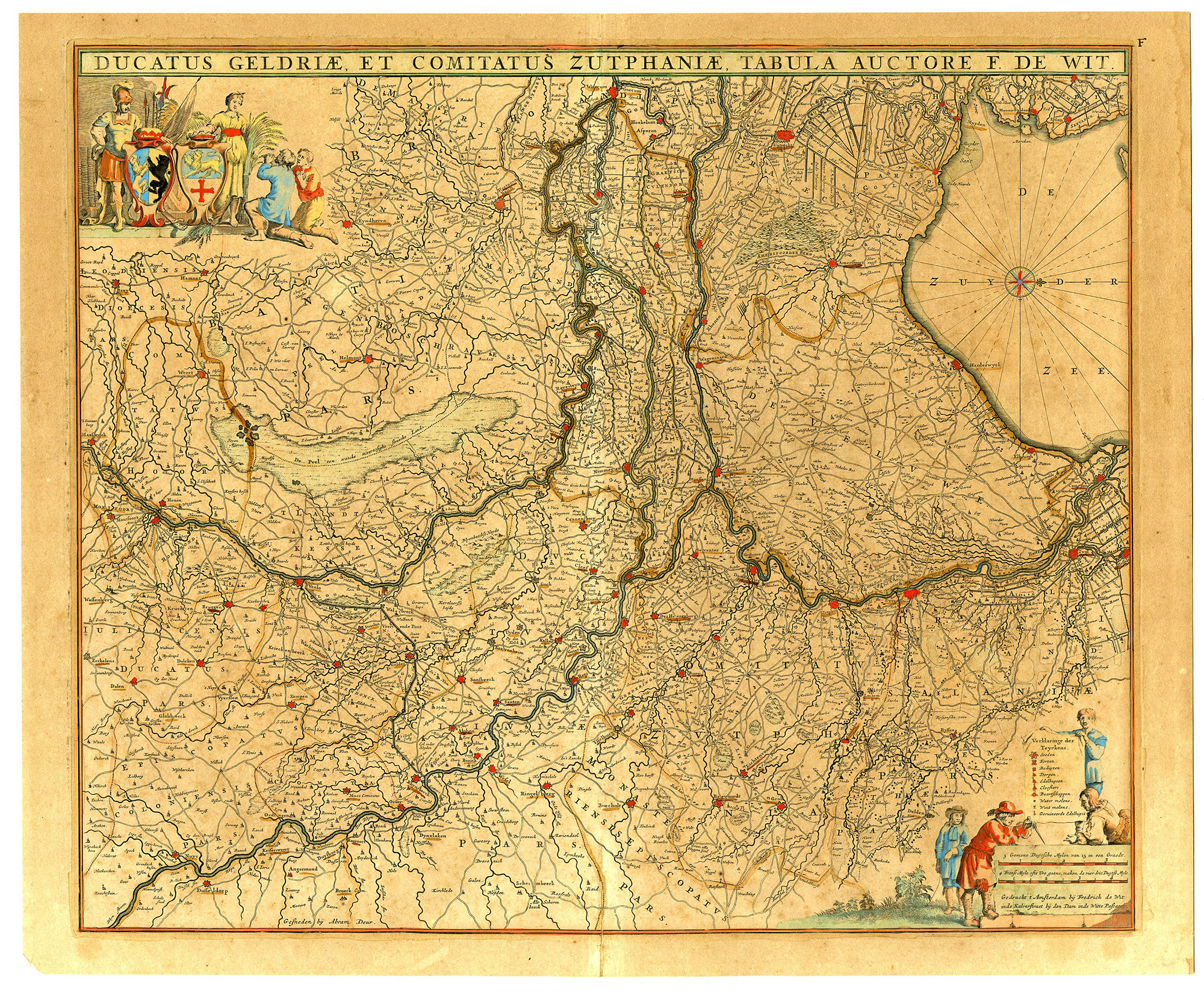
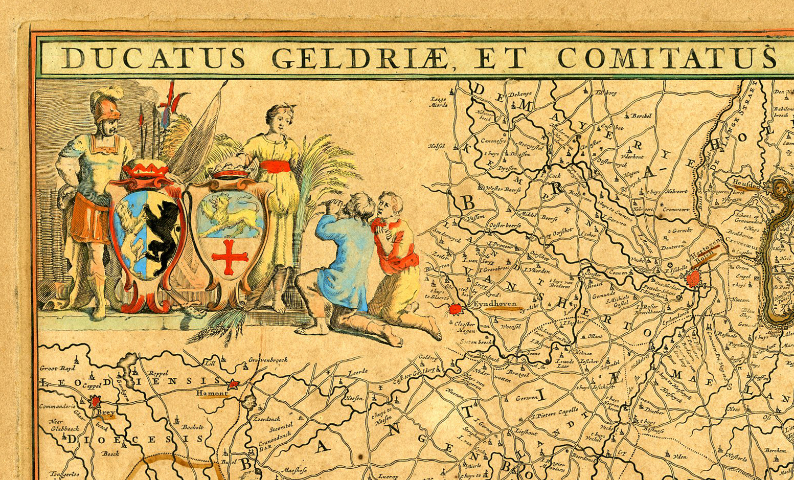
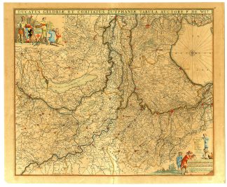
Medium: Copper engraving, original hand-colored on hand laid (verge) paper.
Sheet size: 60 x 50 cm (23.62 x 19.69 inch). Image size: 54.3 x 45.6 cm. (21.38 x 17.95 inch).
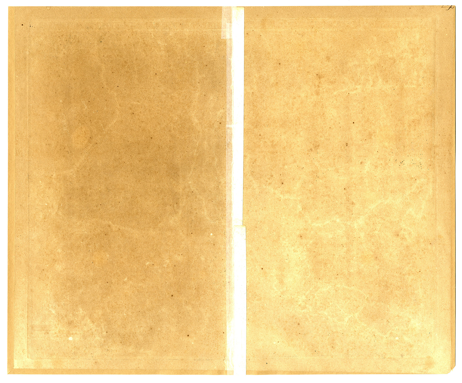
Condition: good, given age. Original hand coloring, well-preserved engraving, age toning, blank verso. Light foxing, creasing and soiling. Original middle fold as issued. With some thin paper spots, backed. General age-related toning and/or occasional minor defects from handling. Please study scan carefully.
GELDERLAND, ZUTPHEN, NETHERLANDS, ANTIQUE MAP, FREDERICK DE WIT, HISTORICAL CARTOGRAPHY, 17TH-CENTURY MAPS, ABRAHAM DEUR, DUTCH GOLDEN AGE | MAPS-OVERSIVE-NETHERLANDS
BACKGROUND INFORMATION
Composite Atlas by F. De Wit, c. 1680.
Reference: Carhart de Wit (2016) – p. 386-388, 119.5.
Biography engraver: Abraham Deur (1666-1714) was a Dutch engraver based in Amsterdam. Little is known of his life, or that of his two sons Jacob and Jan, who do not appear to have carried the business beyond their father’s death. Abraham engraved maps for a number of prominent Amsterdam publishers, including Goos, Mortier, Schenk, Visscher and De Wit.
Biography artist: Frederick de Wit (1630-1706) was a Dutch engraver, cartographer, and publisher. Originally from Gouda, he moved to Amsterdam, where he produced world atlases, sea charts, and town plans. De Wit was granted a privilege in 1689, meaning maps with “cum privilegio” were printed after this date. His atlas plates were later acquired by Covens & Mortier.

Reviews
There are no reviews yet.