
 Print
Print Description
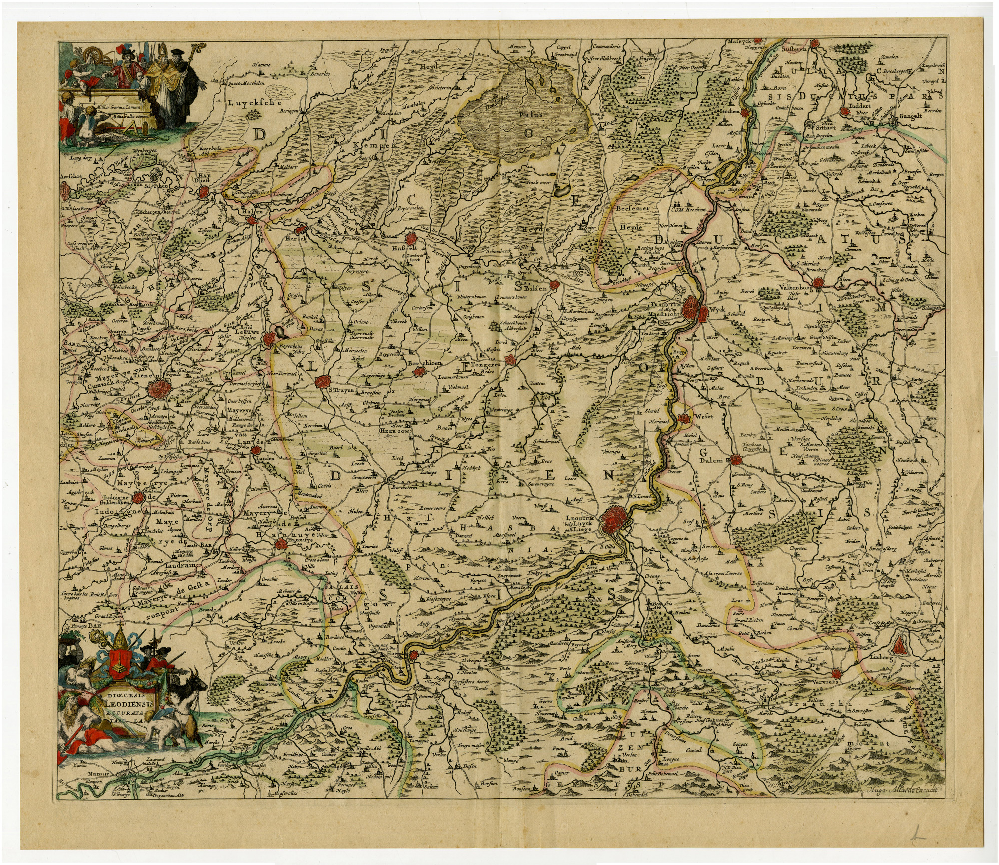
Medium: Etching/Engraving, original hand-colored on hand laid (verge) paper.
Sheet size: 57.8 x 50.4 cm (22.76 x 19.84 inch). Image size: 54 x 46 cm. (21.26 x 18.11 inch).
Condition: very good, given age. Original coloring, well-preserved condition, some minor handling wear. General age-related toning. Original vertical fold as issued. General age-related toning and/or occasional minor defects from handling. Please study scan carefully.
BELGIUM, LIEGE, PRINCE-BISHOPRIC, DIOCESE, ALLARD, DUTCH CARTOGRAPHY, 18TH-CENTURY MAPS, HISTORICAL GEOGRAPHY, FORTIFICATIONS, RIVER MAPS | MAPS-LARGE
BACKGROUND INFORMATION
Published in 1740 as part of Allard’s cartographic series.
Reference: ULiege identifier: 196F (cote ULiege), 709504333 (code-barres ULiege).
Biography engraver: Huych ‘Hugo’ Allard (1625-1691) was a Dutch engraver and founder of the Allard family publishing business in Amsterdam. He specialized in maps, atlases, and prints, often using the work of Blaeu, Jansson, De Wit, and Visscher. His maps are known for their fine engraving and rarity. Huych Allard’s map publishing business was later succeeded by his son Carel Allard (1648-c.1706), who expanded the family’s cartographic work. The Allards produced composite atlases and decorative maps based on the latest geographical knowledge.


Reviews
There are no reviews yet.