
 Print
Print Description
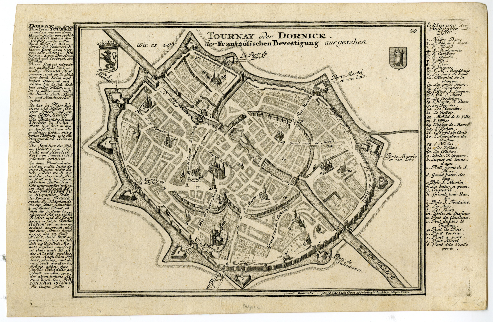
Medium: Copper engraving on hand laid (verge) paper.
Sheet size: 29.5 x 19.4 cm (11.61 x 7.64 inch). Image size: 27.5 x 17.5 cm. (10.83 x 6.89 inch).
Condition: good, given age. Minor age toning, small marginal imperfections. Crisp impression. Light foxing, creasing and soiling. General age-related toning and/or occasional minor defects from handling. Please study scan carefully.
TOURNAI, DORNICK, BELGIUM, CITY PLAN, FORTIFICATIONS, 18TH-CENTURY PRINTS, GABRIEL BODENEHR, ANTIQUE MAP, MILITARY, URBAN DEVELOPMENT | MAPS-LARGE
BACKGROUND INFORMATION
From Gabriel Bodenehr’s “Force d’Europe”, Augsburg, ca. 1720.
Biography engraver: Gabriel Bodenehr the Elder (1664-1758) was a German cartographer, engraver, and publisher from Augsburg. He specialized in city plans and fortification maps, publishing “Atlas Curieux” (1704) and “Force d’Europe” (c. 1720), among others. His work is known for its detailed depictions of urban landscapes.

Reviews
There are no reviews yet.