
 Print
Print Description
Engraving with contemporary hand colouring on hand laid (verge) paper. on paper.
Size in cm: The overall size is ca. 55.5 x 79.5 cm. The image size is ca. 51.5 x 66.5 cm. Size in inch: The overall size is ca. 21.9 x 31.3 inch. The image size is ca. 20.3 x 26.2 inch.
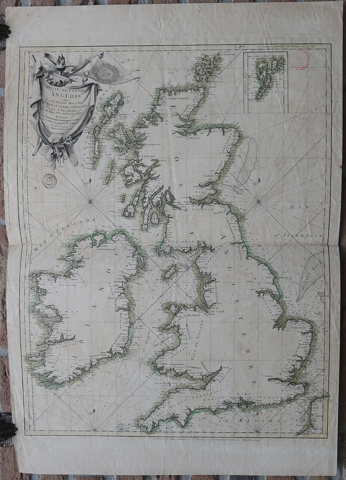
Antique map, titled: ‘Petit Neptune Anglois ou Carte Marine des Cotes d’Angleterre, d’Ecosse et d’Irlande.’ – A map of the coasts of England, Scotland and Ireland, with depth soundings and coastal towns indicated. With an inset map of the Shetland Islands, and a large decorative cartouche. Source unknown, to be determined. Provenance: With two collection stamps on the front: “Depot General de la Guerre” and “Depot des Cart. Pl. et Journ. de la Marine”.Artists and Engravers: Made by ‘Jean Lattre’ after ‘Rigobert Bonne’. Jean Lattre was an 18th. c. French Royal engraver, editor and merchant. Rigobert Bonne (1727-1795) was one of the most important cartographers of the late 18th century. In 1773 he succeeded Jacques Bellin as Royal Cartographer to France in the office of the Hydrographer at the Depot de la Marine. Working in his official capacity Bonne compiled some of the most detailed and accurate maps of the period. Bonne’s work represents an important step in the evolution of the cartographic ideology away from the decorative work of the 17th and early 18th century towards a more detail oriented and practical aesthetic. With regard to the rendering of terrain Bonne maps bear many stylistic similarities to those of his predecessor, Bellin. However, Bonne maps generally abandon such common 18th century decorative features such as hand coloring, elaborate decorative cartouches, and compass roses. While mostly focusing on coastal regions, the work of Bonne is highly regarded for its detail, historical importance, and overall aesthetic appeal.
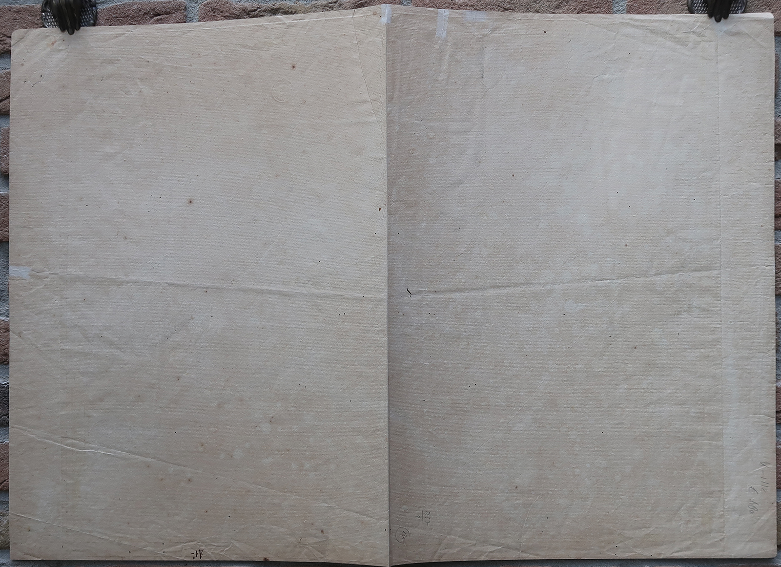
Condition: Very good, given age. Original middle fold (as issued). Rear blank. Some creases in the and left right margins, around the middle fold. Scattered small wormholes. Some creasing. Sheet overall lightly browned. Two ink stamps in the image area. Three small restorations on the left margin (rear). General age-related toning and/or occasional minor defects from handling. Please study scan carefully.
Keywords: ANTIQUE MAP-ENGLAND-SCOTLAND-IRELAND-SEA CHART-BONNE-LATTRE
(PCO) GK-100

Reviews
There are no reviews yet.