

 Print
Print Description
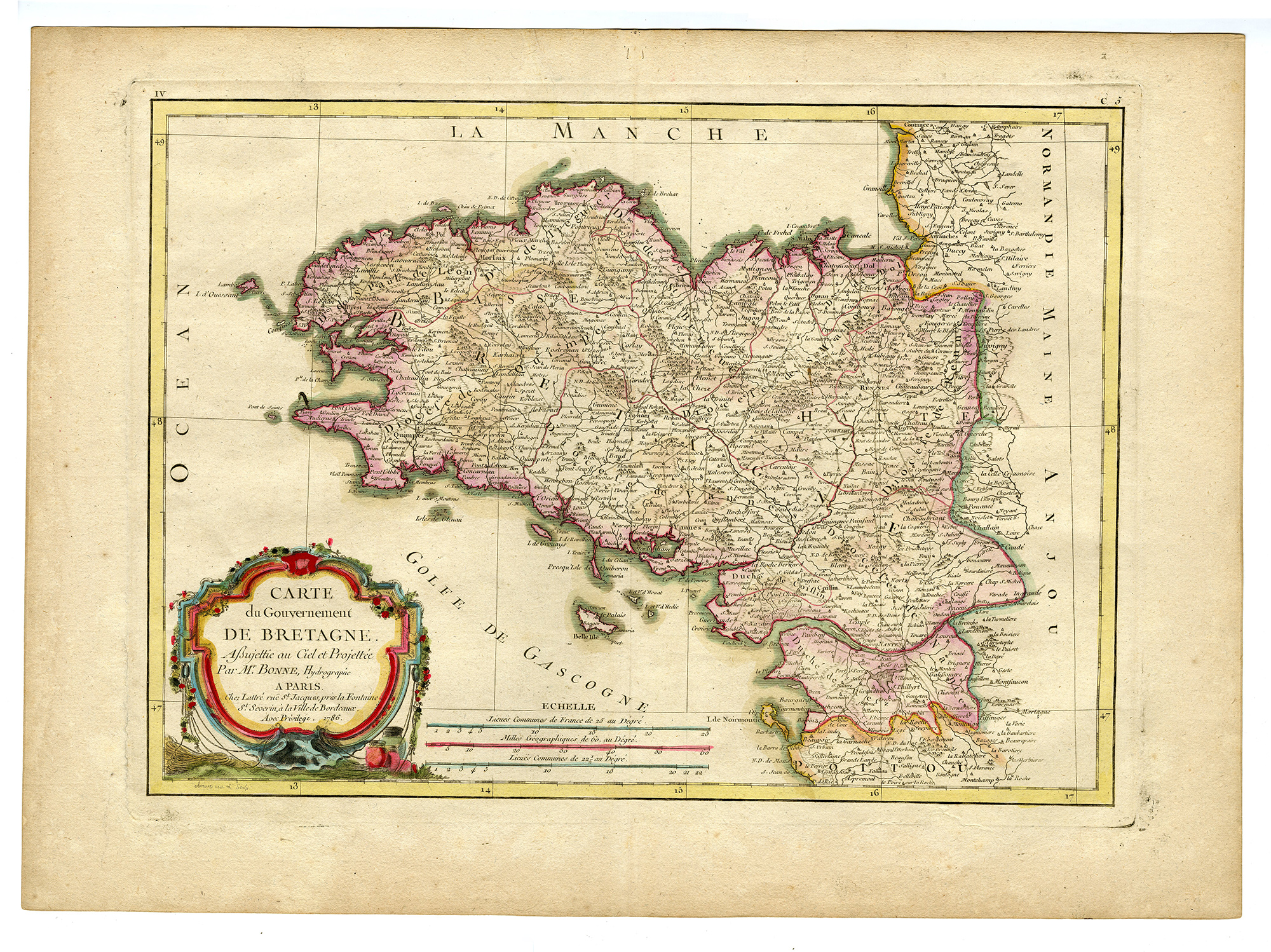
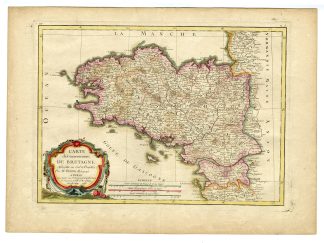
Medium: Engraving, hand-colored on hand-laid (verge) paper.
Sheet size: 51.4 x 37 cm (20.24 x 14.57 inch). Image size: 43.2 x 31.8 cm. (17.01 x 12.52 inch).
Condition: very good, given age. Some toning and wear along the original centerfold, minor foxing, platemark visible. General age-related toning and/or occasional minor defects from handling. Please study scan carefully.
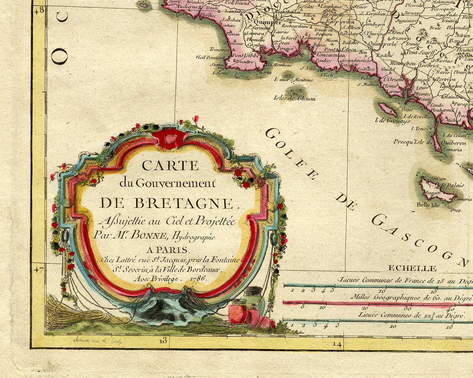
BRITTANY MAP, ANTIQUE FRENCH MAP, 18TH-CENTURY CARTOGRAPHY, RIGOBERT BONNE, ATLAS MODERNE, LOIRE-ATLANTIQUE, FINIST?RE, MORBIHAN, HISTORICAL FRANCE, FRENCH WINE REGIONS | MAPS-LARGE
BACKGROUND INFORMATION
Published in Jean Lattre’s Atlas Moderne, 1771.
Reference: Rumsey 2612.009 (1786 edition).
Biography engraver: Rigobert Bonne (1727-1794) was a French cartographer and Royal Hydrographer, known for his scientific approach to mapmaking. He succeeded Jacques-Nicolas Bellin as Royal Cartographer of France in 1773. Bonne’s work represents a shift from decorative cartography to detailed, mathematically accurate projections. His maps were highly influential, particularly in coastal navigation and geographic education. His Atlas Moderne remains one of the most significant 18th-century French atlases.



Reviews
There are no reviews yet.