
![, FORT-ARGUIN-MAURITANIA-AFRICA [Jakob VAN DER SCHLEY after PREVOST, 1747], Pictura Antique Prints](https://pictura-prints.com/wp-content/uploads/2019/01/pco-2478.jpg)
Description
Plan du Fort d’Arguim (…).
Copperplate engraving/etching on Hand laid (Verge) paper.
Sheet size: 20,8 x 26,7 cm. Image size: 14,5 x 21,5 cm.
From vol. 3 of a Dutch ed. of Prevost’s monumental work: ‘Historische Beschryving der Reizen […]’, published in The Hague by Pieter de Hondt, 1748. Antoine Francois Prevost d’Exiles’ (or Abbe Prevost’s) multi-volume “Histoire Generale Des Voyages” (1746-1759): ultimately 17 quarto volumes recounting major voyages of discovery and descriptions of far flung parts and including around 240 maps, plans and charts of those areas. These maps, plans and charts were mostly produced by Jacques Nicolas Bellin, the influential French hydrographer. Bellin’s work spans from around 1740 to the 1770s; interestingly he signed his plates in a variety of styles – J. Bellin, N. Bellin, N.B., M.B. (Monsieur Bellin) and S.B. (Seigneur Bellin).
Made by Jakob van der Schley after an anonymous artist. Engraver: Jakob van der Schley (Amsterdam 1715-1779) was a Dutch draughtsman and engraver. He studied under Bernard Picart and became heavily influenced by his style.
Condition: Good, given age. Some browning in the margins. A few minor spots General age-related toning and/or occasional minor defects from handling. Please study scan carefully.
Keywords: FORT-ARGUIN-MAURITANIA-AFRICA
PCO-A7-27
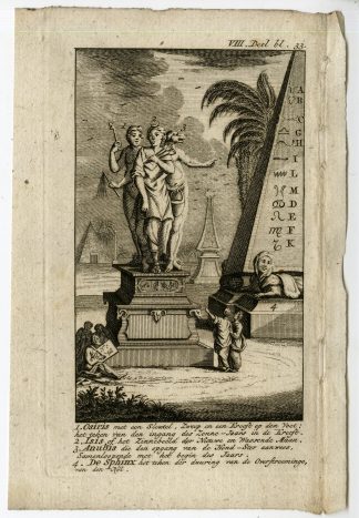


![Israelitae ut Apes fumigatae [Johann SCHEUCHZER after TYROFF, 1731]](https://pictura-prints.com/wp-content/uploads/2018/10/pcom-677-324x512.jpg)

Reviews
There are no reviews yet.