
 Print
Print Description
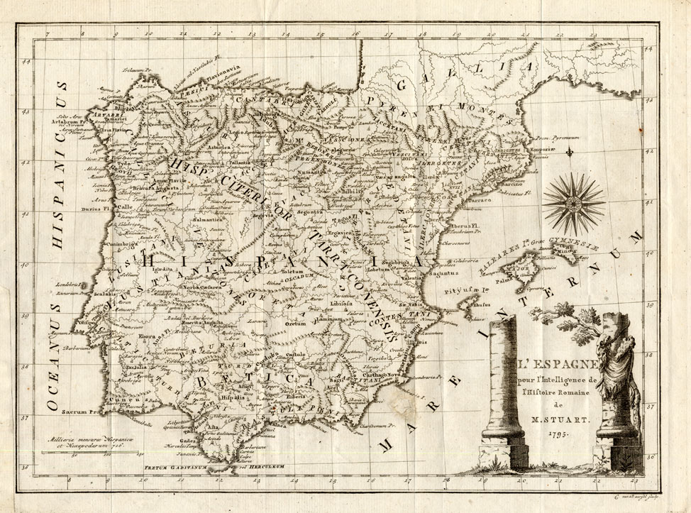
Original copperplate engraving on a verge type hand laid paper. on paper.
Size in cm: The overall size is ca. 39 x 29 cm. The image size is ca. 35.5 x 26 cm. Size in inch: The overall size is ca. 15.4 x 11.4 inch. The image size is ca. 14 x 10.2 inch.
Antique map : ‘L’ Espagne pour l’ intelligence …’. (Historic map of Spain.) A map of Spain and Portugal in Roman times. This map originates from ‘Romeinsche geschiedenissen.’ (Roman History.) by M.Stuart, published in Amsterdam,1809.Artists and Engravers: Engraved by Cornelis van Baarsel (1761- 1826), Dutch engraver.
Condition: Excellent. General age related toning and occasional light staining from handling as visible on image. Original folds.
Keywords: ANTIQUE MAP-SPAIN-PORTUGAL-ROMAN-STUART
XXX-A4-05


Reviews
There are no reviews yet.