
 Print
Print Description
Copperplate engraving on verge type hand laid paper with watermark. Old hand colouring. on paper.
Size in cm: The overall size is ca. 68 x 57 cm. The image size is ca. 59 x 48 cm. Size in inch: The overall size is ca. 26.8 x 22.4 inch. The image size is ca. 23.2 x 18.9 inch.
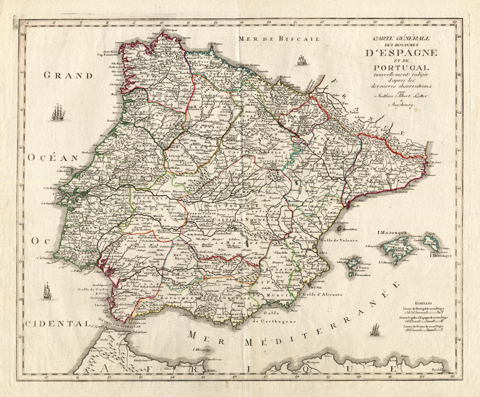
Map 21: ‘Carte Generale des Royaumes D’ Espagne et de Portugal …’. (Map of Spain and Portugal.) Map of the Iberian Peninsula with Spain, Portugal and the Balearic Islands. Published by Tobias Conrad Lotter (1717-1777).Artists and Engravers: Tobias Conrad Lotter married into Matthaeus Seutter’s well-established publishing business. He became one of the most prolific cartographic publishers on the Continent, and produced a vast array of fine maps ranging in scope from double hemispheres to celestial charts. Lotter took over Seutter’s business in 1756 and continued to publish Seutter’s reworked plates until his death in 1777.
Condition: Fine. General age related toning and occasional light staining from handling as visible on scans. Some minor tears in the margins not affecting the image.
Keywords: ANTIQUE MAP-SPAIN-PORTUGAL-IBIZA-MALLORCA-LOTTER
XXX-B1-38


Reviews
There are no reviews yet.