
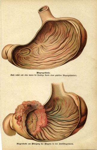
Description
Original colour lithographs. on paper.
Size in cm: The overall size is ca. 9.5 x 12.2 cm. The image size is ca. 8.5 x 10.4 cm. Size in inch: The overall size is ca. 3.7 x 4.8 inch. The image size is ca. 3.3 x 4.1 inch.
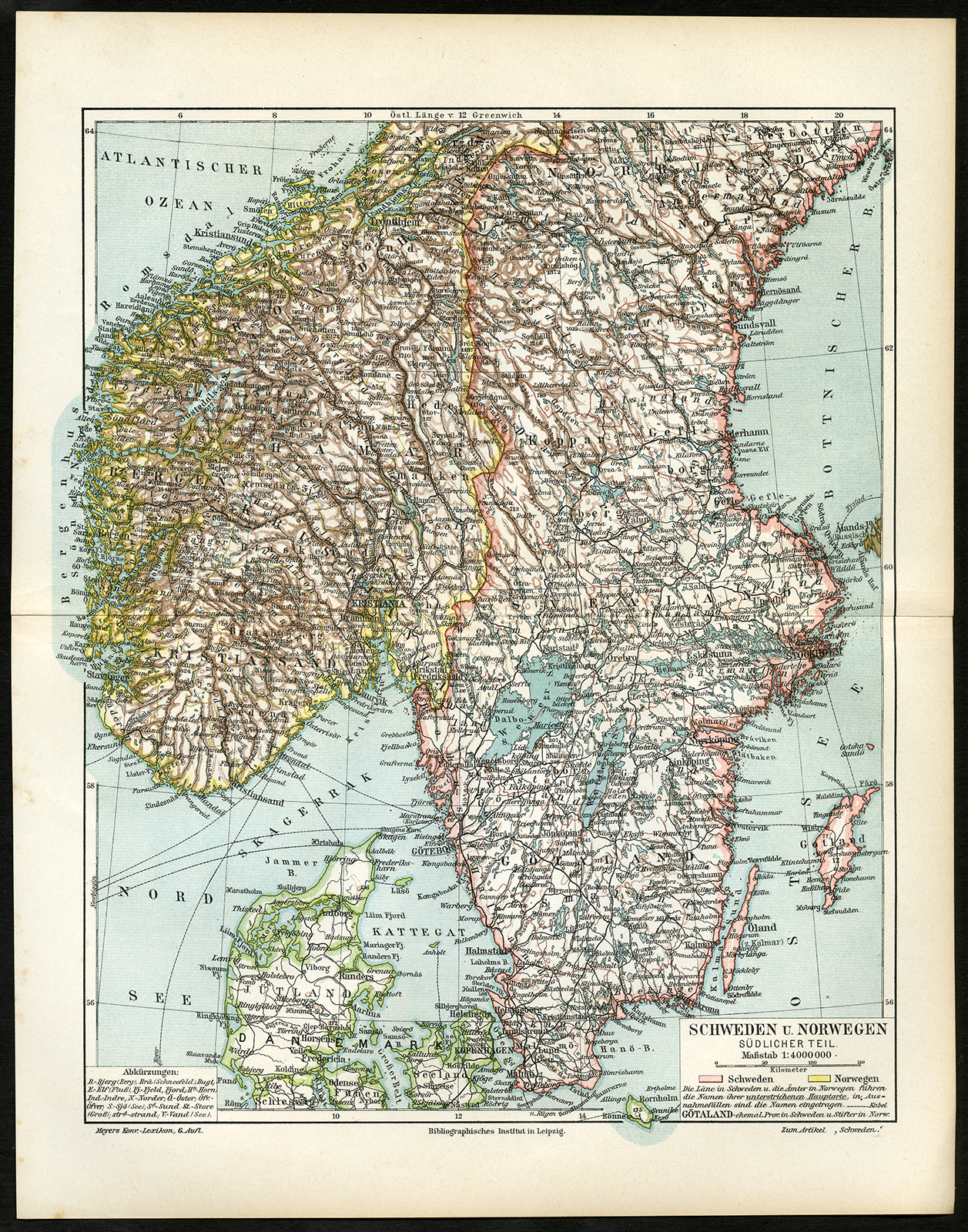
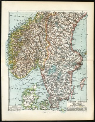
Map: ‘Schweden und Norwegen, sudlicher Teil’. (Map of Sweden and Norway, southern part). This original antique map originates from the sixth edition of the famous German encyclopedia Meyers’ Konversationslexikon. This edition was published 1902-1920.Artists and Engravers: The original founder and publisher who initiated this famous enxyclopedia was Joseph Meyer (1796-1856, Hildburghausen, Germany).
Condition: Excellent, given age. Original middle fold. General age-related toning and occasional light stains from handling. Please study image carefully.
Keywords: ANTIQUE MAP-SOUTH SCANDINAVIA-NORWAY-SWEDEN-MEYERS
(PCOMAN) A167-17


Reviews
There are no reviews yet.