


Description
‘ET JAM JAMQ MAGIS DULCES COEPERE BRABANTI (?) OBSSIDIONIBUS URBEM.”
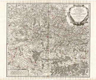
This print shows the siege and capturing of Antwerp, Belgium, between 1584/1585 during the 80th year war aginst the Spanish. We see the fortresses along the river Schelde. Below text in latin, on the reverse text in Dutch.
Made by an anonymous engraver after Bor.
Etching on handlaid (verge) paper. Watermark: No.
Sheet size: 18.5 x 13.7 cm (7.28 x 5.39 inch). Image size: 17 x 13.2 cm. (6.69 x 5.2 inch).
Condition: good, given age. Brownish. One wormhole in right. General age-related toning and/or occasional minor defects from handling. Please study scan carefully.
SIEGE OF ANTWERP-80TH YEAR WAR-SPANISH-BELGIUM-FORTRESSES
RB-A7-08
BACKGROUND INFORMATION
From: ‘Oorspronck, begin ende vervolgh der Nederlantsche Oorlogen…’, by P.C. Bor, published in Leyden by Govert Basson and Amsterdam by Michiel Colyn 1621-1634. This important work on the first five decades of the 80 Years War raging in the Netherlands, Belgium and the western part of Germany from 1568-1648. Many of the plates are after ‘Geschichtsblatter’ by Frans Hogenberg and after plates from J. J. Orlers’ work. New plates were added as well. Most of the plates were used before in the work of Baudartius published in 1616.
Admin: RB-T23.


Reviews
There are no reviews yet.