
 Print
Print Description
Copperplate engraving on verge type hand laid paper with watermark. Outline hand colouring. on paper.
Size in cm: The overall size is ca. 67 x 52 cm. The image size is ca. 55 x 48.5 cm. Size in inch: The overall size is ca. 26.4 x 20.5 inch. The image size is ca. 21.7 x 19.1 inch.
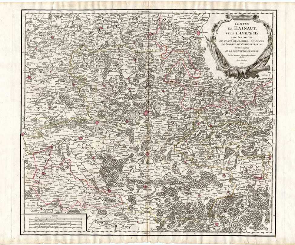
Map : ‘Comtes de Hainaut, et de Cambresis, avec les confins du Comte de Flandre, du Duche du Brabant, du Comte de Namur, et une partie de la Seigneurie de Liege. ‘. (Map of Hainaut and Cambrai.) Copper Engraved map by Robert de Vaugondy of the counties of Hainaut in Belgium and Cambrai in France. Also parts of the Duchy of Brabant, the County of Namur and Liege. Published in Paris by Robert de Vaugondy, ca. 1755.Artists and Engravers: Gilles Robert de Vaugondy, a French cartographer with connection to the Sanson family, was born 1688 in Paris. He used Sanson’s plates and also acquired plates of Jaillot. His major work was the beautiful “Atlas Universel” first issued in 1757. He died 1766 in Paris.
Condition: Excellent. general age related toning. some light staining from handling. Small tears in margin backed..
Keywords: ANTIQUE MAP-HAINAUT-CAMBRAI-BELGIUM-DE VAUGONDY
XXX-B3-01


Reviews
There are no reviews yet.