
 Print
Print Description
Lithograph on wove paper. on paper.
Size in cm: The overall size is ca. 68.5 x 86.2 cm. The image size is ca. 66 x 84.1 cm. Size in inch: The overall size is ca. 27 x 33.9 inch. The image size is ca. 26 x 33.1 inch.
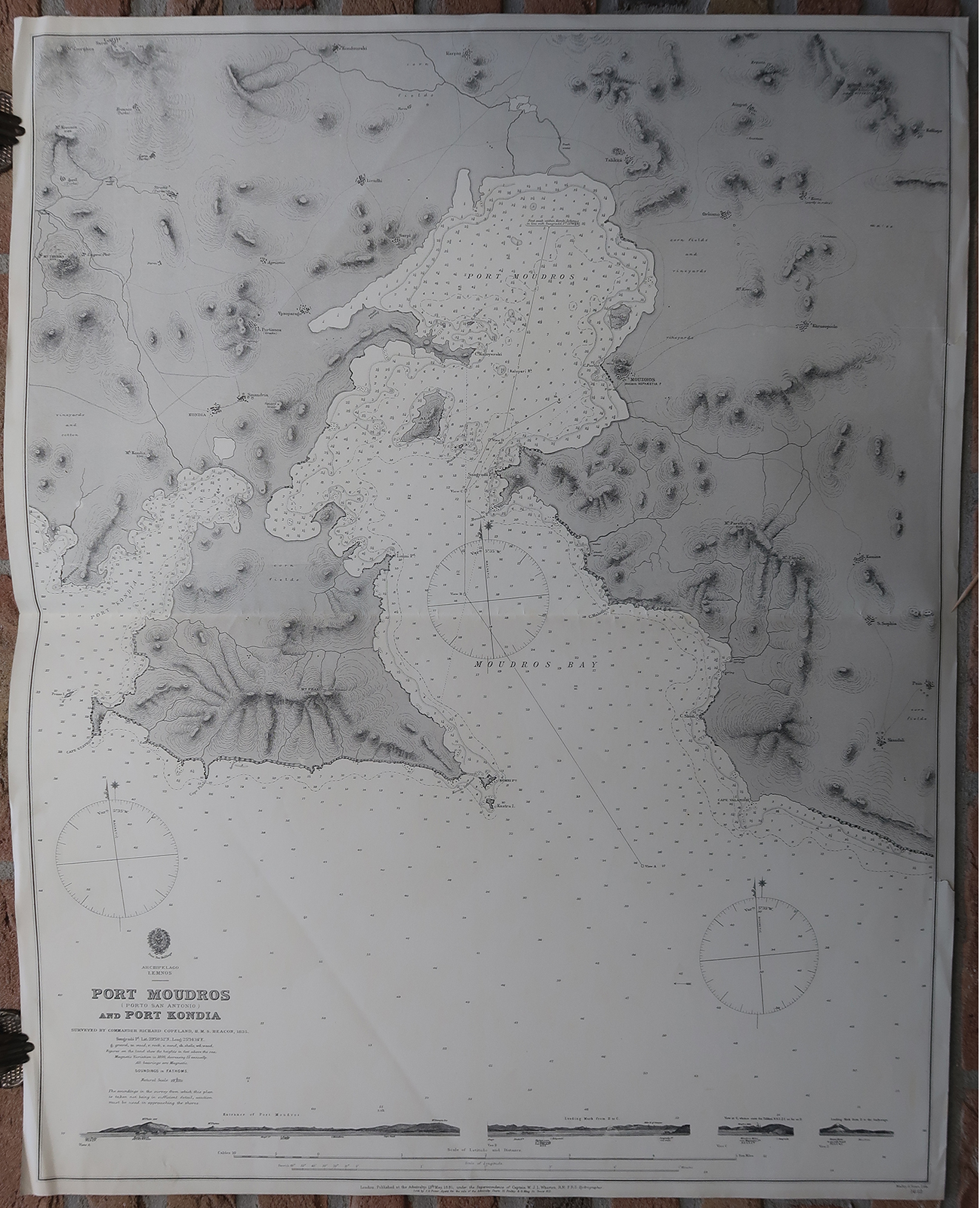
Antique map, titled: ‘Port Moudros (Porto San Antonio) and Port Kondia. Archipelago Lemnos.’ – A detailed sea chart/ nautical map of part of the island Lemnos/Limnos, in the Aegean Sea. The map shows the bay of Moudros and the surrounding area including Kontias, with depth soundings and geological and topographical details of the island. Published by the Admiralty, London, under supervision of W.J.L. Wharton. Lithographed by Malby & Sons.Artists and Engravers: Made by an anonymous engraver after ‘Richard Copeland’. Surveyor for this map Richard Copeland.
Condition: Good, given age. Original middle fold, as issued. Two small tears in the right margin (extending minimally into the image area). Some creasing in the top and bottom margin corners, and soft diagonal creases. General age-related toning and/or occasional minor defects from handling. Please study scan carefully.
Keywords: ANTIQUE MAP-SEA CHART-LEMNOS-LIMNOS-GREECE-MOUDROS-KONTIAS-COPELAND
(PCO) GK-101

Reviews
There are no reviews yet.