
 Print
Print Description
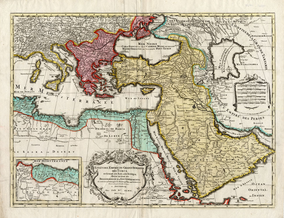
Engraved map with original contemporary hand colouring, printed on a verge type hand laid paper. on paper.
Size in cm: The overall size is ca. 66 x 56 cm. The image size is ca. 61 x 45 cm. Size in inch: The overall size is ca. 26 x 22 inch. The image size is ca. 24 x 17.7 inch.
Original decorative large map titled: ‘Estats del empire du grand seigneur des Turcs en Europe en Asia en Afrique. Chez Ian Bt. Elwe … 1792.’ This map shows the Eastern Mediterranean and Turkish Empire, Arabia, Greece, Italy. This original map originates from an Atlas published in 1793 by J.B. Elwe. Artists and Engravers: The author of this atlas is Jan Barend Elwe (1774-1815), a Amsterdam bookseller. Ref: Koeman, Atlantes Neerlandici Vol. II, S. 105, El 2, 2. Tooley’s Dict. of Mapmakers.
Condition: Fine. General light age related toning, some false fold lines, as visible on scans. Map differs slightly from the illustrated image as it is merged from several scans.
Keywords: ANTIQUE MAP-TURKISH EMPIRE-MEDITERRANEAN-ELWE
(PCO) L9-07


Reviews
There are no reviews yet.