


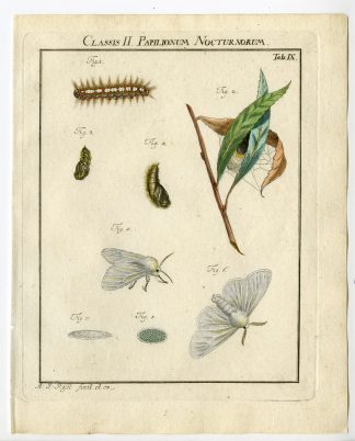
Description
Engraving on hand laid paper. on paper.
Size in cm: The overall size is ca. 46.3 x 64.3 cm. The image size is ca. 42.8 x 60.5 cm. Size in inch: The overall size is ca. 18.2 x 25.3 inch. The image size is ca. 16.9 x 23.8 inch.
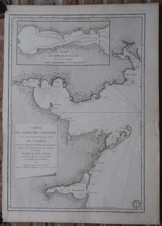
Antique map, titled: ‘Carte de la Baie des Chaleurs a la cote Occidentale du Golfe de St. Laurent.’ – A decorative map/chart of the Gulf of St. Lawrence, the East coast of New Brunswick, from Miramichi in the South to Gaspe in the North. This includes Lameque Island and Miscou Island and Heron Island. A scarse map as we do not see it offered anywhere. Published by Antoine de Sartine, comte d’Alby (1729-1801), “Depot General de la Marine”.Artists and Engravers: Made by an anonymous engraver after ‘Colonel L’Hermite’.
Condition: Very good, given age. Left margin cut a little uneven, and with a crease. A small tear in the right margin (not affecting image). Margin edges faintly browned. General age-related toning and/or occasional minor defects from handling. Please study scan carefully.
Keywords: ANTIQUE MAP-SEA CHART-CANADA-NEW BRUNSWICK-GULF OF ST. LAWRENCE-HERMITE
(PCO) GK-281
![PERSIAN SAINT-SEID IBRAHIM-SEPULCHRE-PYRMARAS [After DE MANDELSLO, 1719]](https://pictura-prints.com/wp-content/uploads/2019/03/pcom-0673-324x491.jpg)


Reviews
There are no reviews yet.