
 Print
Print Description
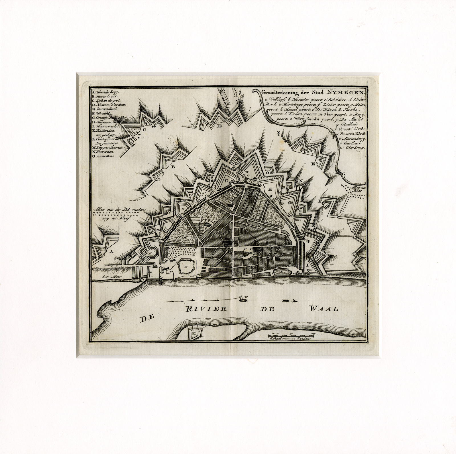
Medium: Copper engraving on hand laid (verge) paper.
Sheet size: 20 x 20 cm (7.87 x 7.87 inch). Image size: 18 x 17 cm. (7.09 x 6.69 inch).
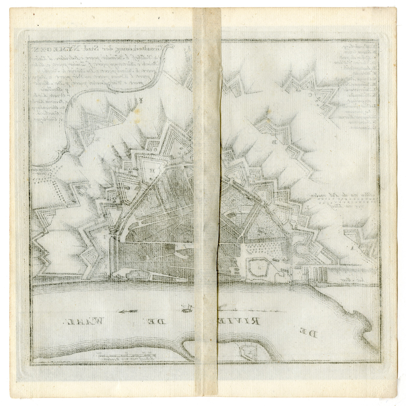
Condition: very good, given age. Clean, with minor toning, well-preserved engraved details. Mounted on a passe-partout for preservation. General age-related toning and/or occasional minor defects from handling. Please study scan carefully.
ANTIQUE MAPS, NIJMEGEN, NETHERLANDS, DUTCH CARTOGRAPHY, 18TH-CENTURY MAPS, CITY FORTIFICATIONS, HENDRIK DE LETH, HISTORICAL MAPS | MAPS-LARGE
BACKGROUND INFORMATION
Nieuwe geographische en historische atlas van de zeven Vereenigde Nederlandsche provintien, published by Hendrik de Leth, Amsterdam, 1740-1766.
Reference: Koeman, Le H 2-3.
Biography engraver: Hendrik de Leth (1703-1766) was a Dutch engraver, publisher, and cartographer. He was the son of Andries de Leth and took over the family printing business, producing maps, city views, and atlases. His Nieuwe geographische atlas is one of his most significant works.


Reviews
There are no reviews yet.