
 Print
Print Description
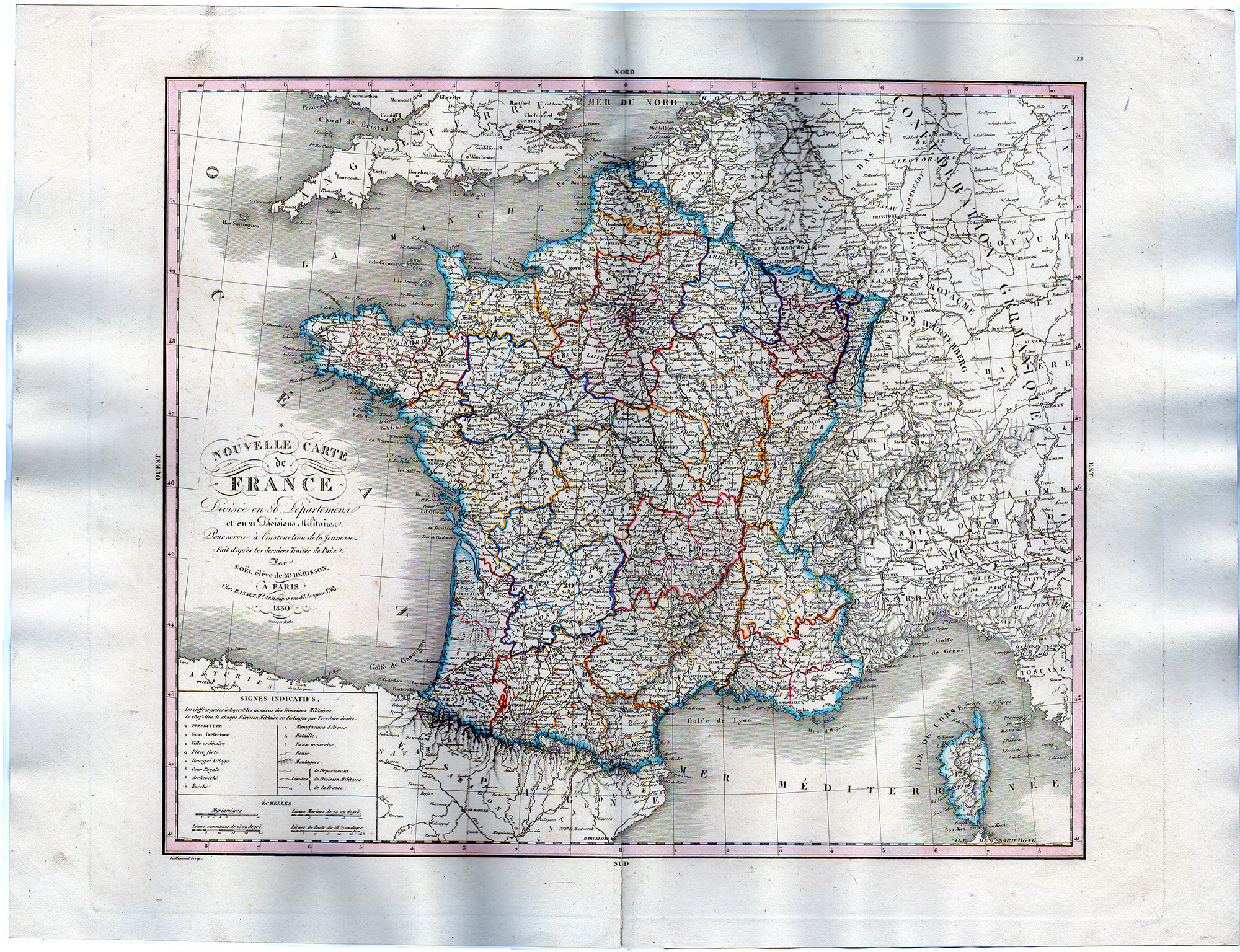
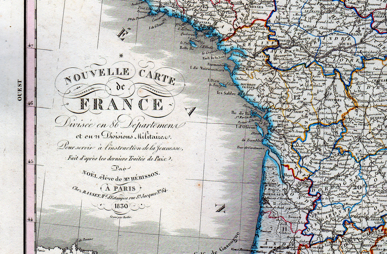
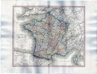
This print shows a map with a view of France with its 86 departments and 24 military divisions.
Made by L. H. Berthe after Noël, éléve de Ms. Herrison.
Medium: Etching / engraving on handlaid (verge) paper.
Sheet size: 54 x 41.5 cm (21.26 x 16.34 inch). Image size: 41 x 34.5 cm. (16.14 x 13.58 inch).
Condition: good, given age. Fold as published. Tear restored in fold an in upper margin. Paper seperation at lower middle fold, backed. General age-related toning and/or occasional minor defects from handling. Please study scan carefully.
MAP-FRANCE-MILITARY-DEPARTMENTS-ITALY-GERMANY-BELGIUM | RBOS-T43-LARGE
BACKGROUND INFORMATION
This attractive print was published by Basset, Paris, France, 1830.
Biography engraver: L. H. Berthe (fl. c. 1777 – 1830) was a French engraver active in Paris in the early to mid-19th century. Little is known of Berthe. He seems to have been active as early as 1777 and as late as 1830. He maintained offices at Rue St. Jacques , No. 66.


Reviews
There are no reviews yet.