
 Print
Print Description
Copperplate engraving on verge type hand laid paper with watermark. Original hand colour. on paper.
Size in cm: The overall size is ca. 64.5 x 47 cm. The image size is ca. 56 x 41.5 cm. Size in inch: The overall size is ca. 25.4 x 18.5 inch. The image size is ca. 22 x 16.3 inch.
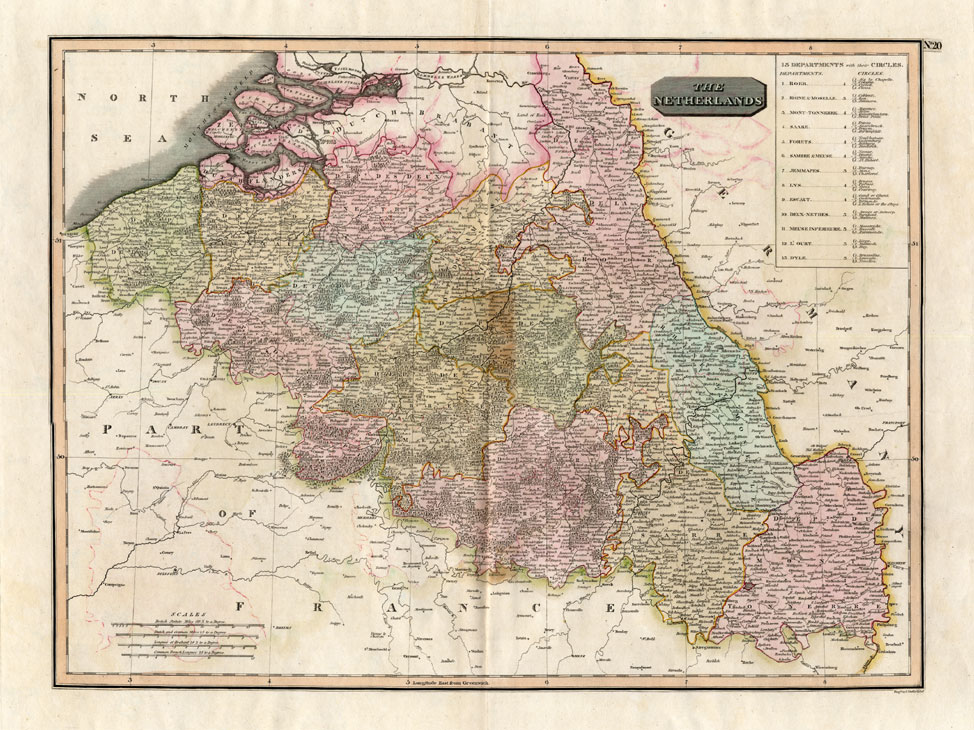
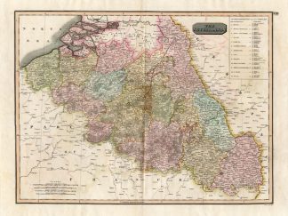
Plate : ‘The Netherlands’. (Map of The Netherlands.) This 1814 map shows the area between the France – Germany border south of Dutch Flanders and Brabant, including modern day Belgium. Includes the area west of the Rhine from Cleves to Speyer. This map originates from: ‘Thomson’s New General Atlas.’, published in Great Britain 1814.Artists and Engravers: This 1814 map was engraved by J. Moffat.
Condition: Excellent. general age related toning. some light staining from handling. Some ghosting from colours.
Keywords: ANTIQUE MAP-BELGIUM-LUXEMBOURG-THOMSON
XXX-B3-01

Reviews
There are no reviews yet.