
 Print
Description
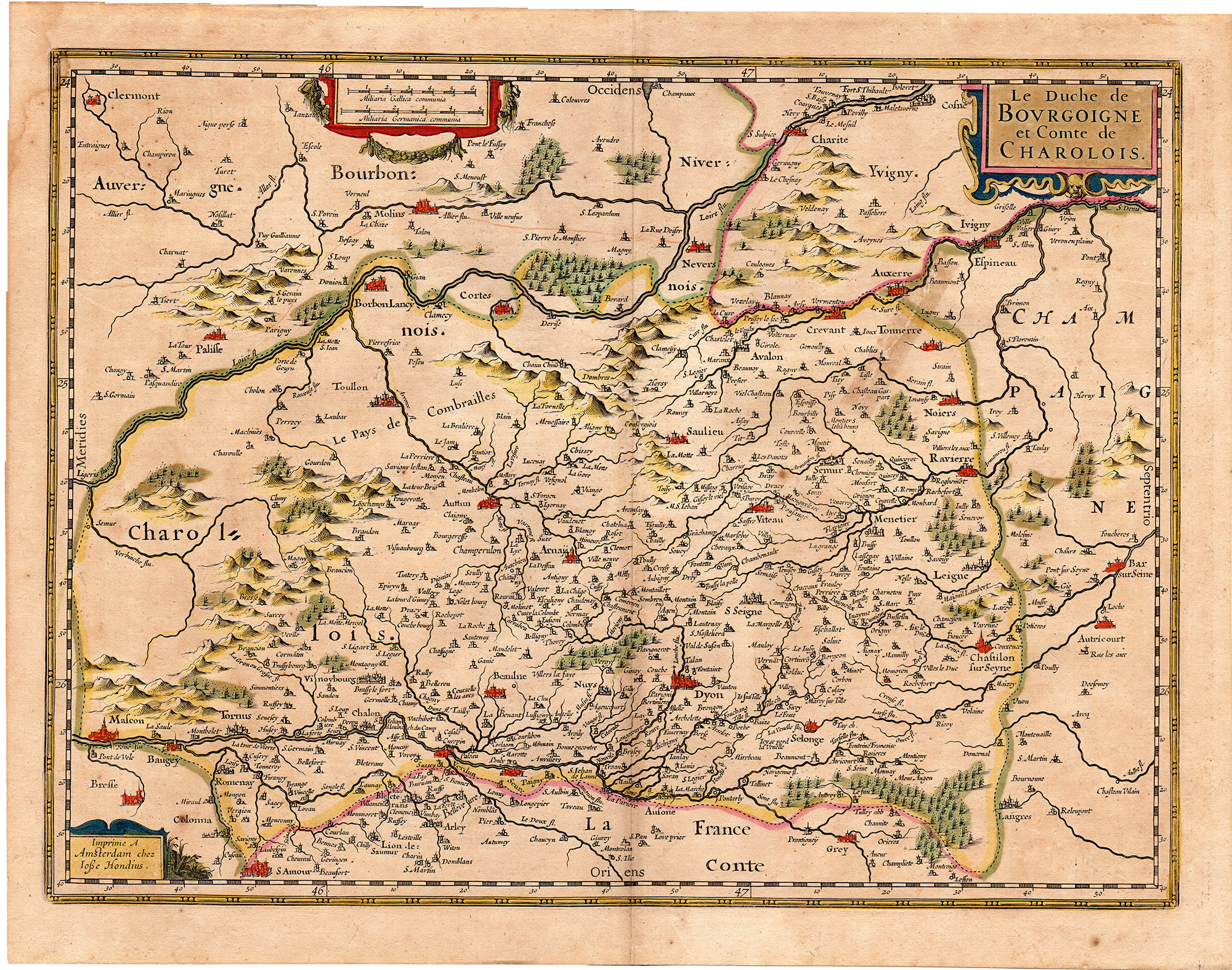
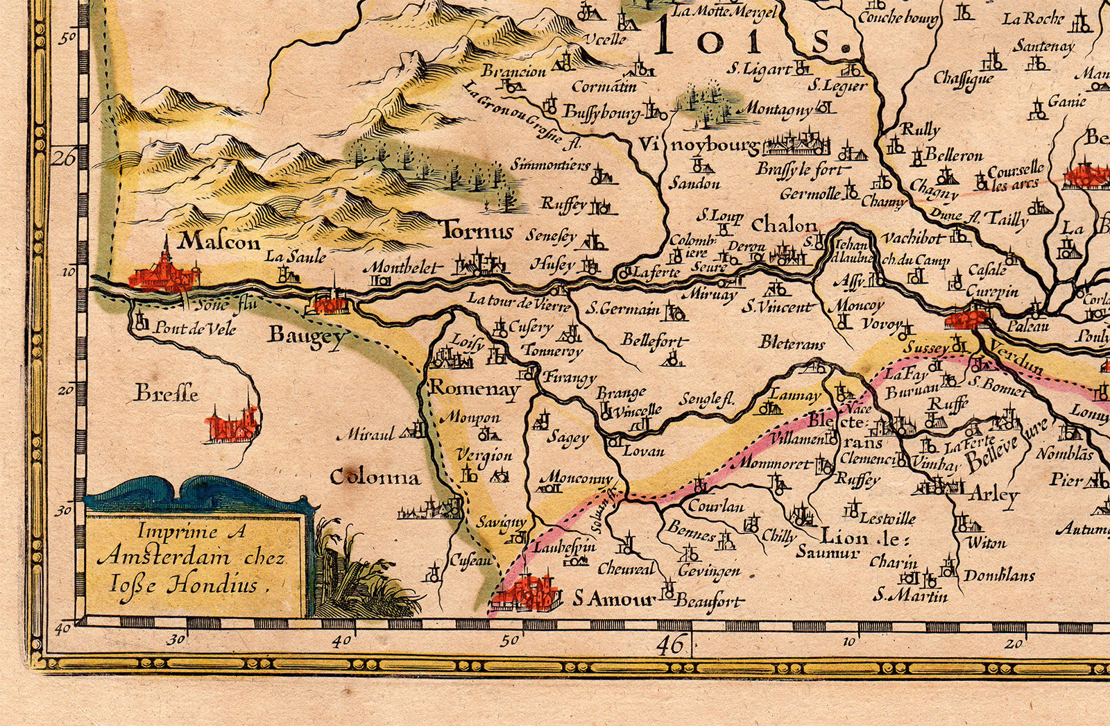
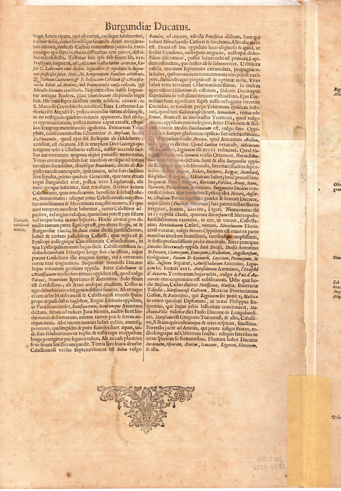
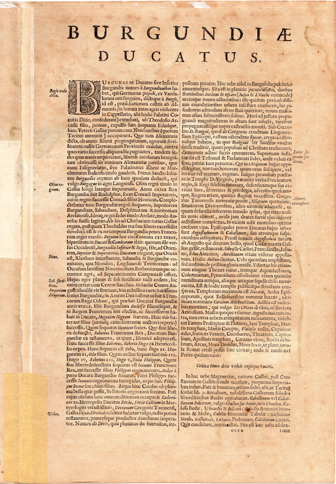
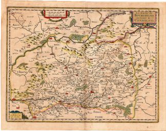
This print shows the map of the famous wine region of the Duchy of Burgundy and the County of Charolais in France, now roughly corresponding with the departments of Côte-d’Or, Saône-et-Loire and part of Yonne. The map is orientated towards the west. Text on reverse in latin.
Made by an anonymous engraver after Mercator-Janssonius.
Medium: Engraving with hand colouring and some gold heightening in the title cartouche on handlaid (verge) paper.
Sheet size: 54.5 x 42.5 cm (21.46 x 16.73 inch). Image size: 50.5 x 38 cm. (19.88 x 14.96 inch).
Condition: good, given age. Fold as published. Waterstain in upper left corner. Brownish. Tear on right plate restored. Old restorations in middle fold. Brown spots. Remains of papertape in upper margin. General age-related toning and/or occasional minor defects from handling. Please study scan carefully.
FRANCE-DUCHY OF BURGUNDY-CHAROLAIS-CÔTE-D’ORE-SAÔNE-ET-LOIRE-YONNE-WINE | RBOS-T.45-LARGE
BACKGROUND INFORMATION
This attractive print was published by Gerardi Mercatoris et I. Hondii in Newer Atlas oder Grosses Weltbuch … Amsterdam, J. Janssonius, 1636.
Reference: Van der Krogt 1, 323.

Reviews
There are no reviews yet.