
 Print
Print Description
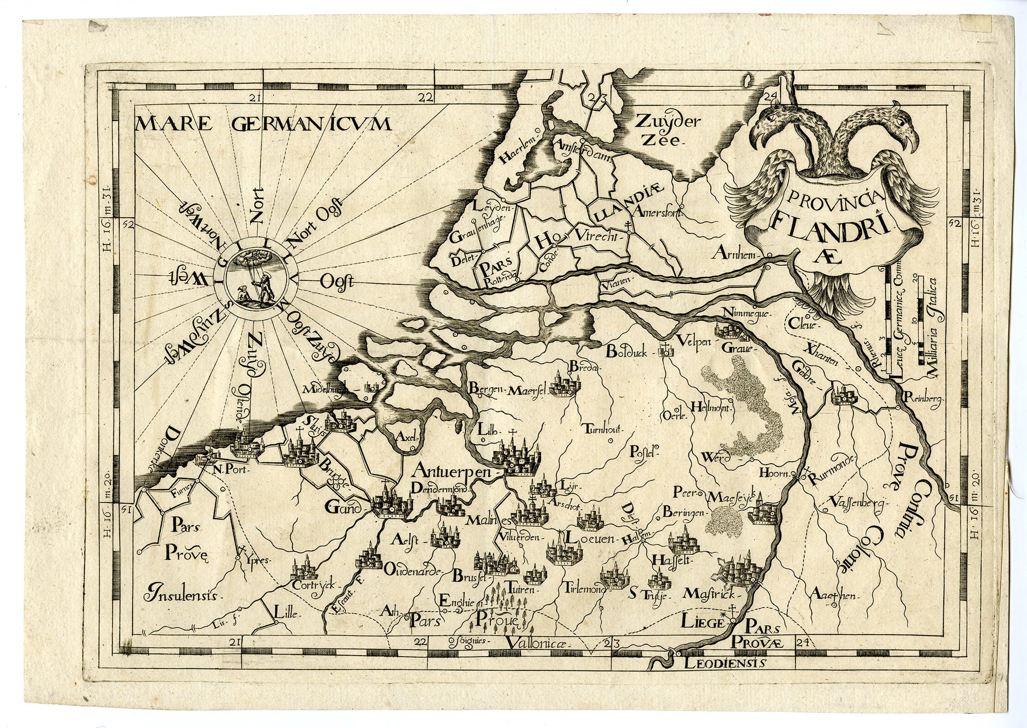
Medium: Copper engraving on Hand laid (verge) paper.
Sheet size: 36.5 x 26 cm (14.37 x 10.24 inch). Image size: 33 x 22.5 cm. (12.99 x 8.86 inch).
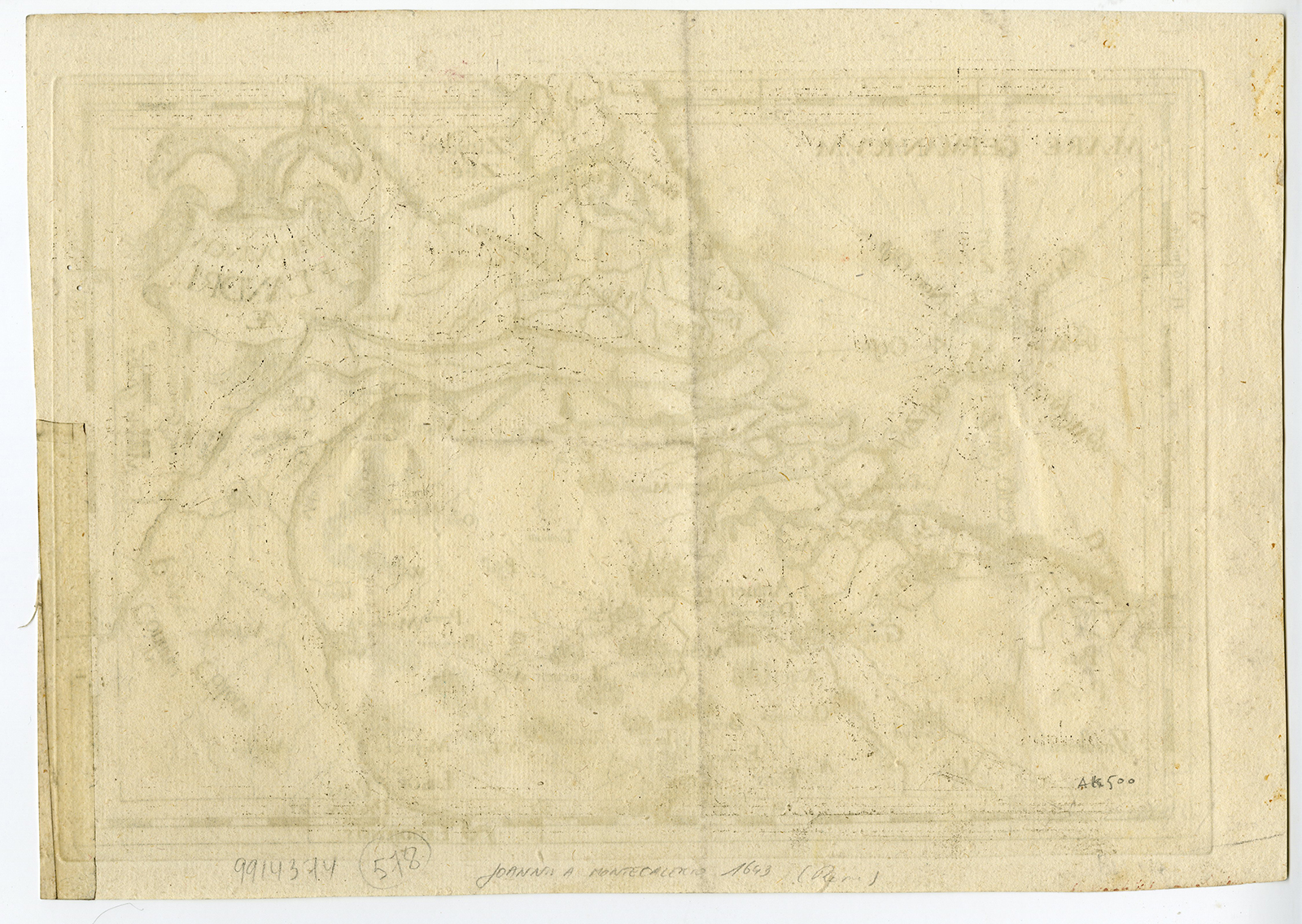
Condition: good, given age. Some minor foxing and slight edge wear. Strong engraving impression, well-preserved detail. General age-related toning and/or occasional minor defects from handling. Please study scan carefully.
ANTIQUE MAP, FLANDERS, HISTORICAL CARTOGRAPHY, 18TH-CENTURY ENGRAVING, GIOVANNI DA MONCALIERI, GIOVANNI BATTISTA DA CASSINO, BELGIUM, DUTCH HISTORY, CAPUCHIN ORDER, FORTIFIED CITIES | EXPO-509 (MAPS)
BACKGROUND INFORMATION
Chorographica Descriptio Provinciarum et Conventuum FF. Min. S. Francisci Capucinorum, originally published in 1643 in Turin, revised by Giovanni Battista da Cassino in 1712.
Reference: Cod 7985.
Biography engraver: Giovanni Battista da Cassino (active early 18th century) was an Italian engraver and cartographer known for updating Moncalieri’s Chorographica Descriptio in 1712.
Biography artist: Giovanni da Moncalieri (1579-1655) was an Italian Capuchin friar, theologian, and diplomat. He authored Chorographica Descriptio Provinciarum, an atlas detailing the locations of Capuchin convents across Europe, published in 1643. His work remains an important historical document on the geography of the early modern Catholic world.

Reviews
There are no reviews yet.