
 Print
Print Description
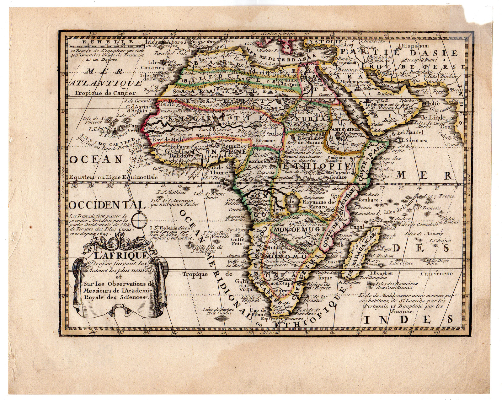
Original antique map of Africa and parts of Arabia. Title cartouche bottom left; above the cartouche a compass rose; scale stick top left.
Made by Jacques Chiquet after de Leth.
Medium: Engraving / etching with outline hand colouring on hand laid (verge) paper.
Sheet size: 25.7 x 20.7 cm (10.12 x 8.15 inch). Image size: 22.2 x 16.2 cm. (8.74 x 6.38 inch).
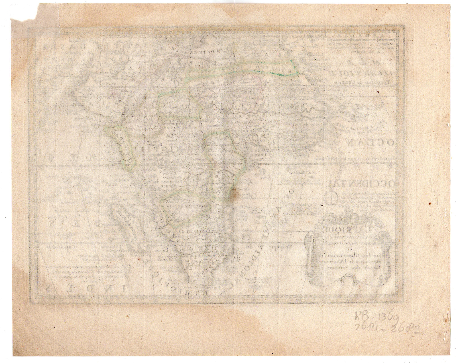
Condition: good, given age. Some paper loss upper right corner. Paper partly browned. A few crinkles. General age-related toning and/or occasional minor defects from handling. Please study scan carefully.
AFRICA-ARABIA | RB-A9-10
BACKGROUND INFORMATION
From ‘Nouvel Atlas Geographique & Historique’ by Hendrik de Leth (1703 – 1766). This map was based on the original by Jacques Chiquet from 1719.
Biography engraver: Jacques Chiquet (c.1673-1721) was a French cartographer, engraver and print seller in Paris.
Biography artist: Publisher: Hendrik de Leth (Amsterdam, 1703-1766). De Leth was a printmaker and draughtsman of landscapes, active in Amsterdam. He was one of the artists who collaborated on Zegepralent Kennemerland, but also published numerous quite beautiful maps. Engraver, publisher and painter, active in Amsterdam, worked for the Visscher family and eventually took over the business. De Leth is better known as an artist and engraver than as a cartographer although his historical atlas of the Netherlands was a very popular work.



Reviews
There are no reviews yet.