
Description
Medium: Etching / engraving on hand laid (verge) paper.
Sheet size: 33.8 x 16.4 cm (13.31 x 6.46 inch). Image size: 27.9 x 14 cm. (10.98 x 5.51 inch).
Condition: good, given age. Original folds as issued. Light soiling and creasing. General age-related toning and/or occasional minor defects from handling. Please study scan carefully.
18E EEUW, HISTORISCHE PRENT, KOPERGRAVURE, INDUSTRI?LE GESCHIEDENIS, AMBACHTEN, WERKTUIGEN, TECHNIEK, MECHANICA, PRODUCTIEPROCES, WERKPLAATS, VAKMANSCHAP, VROEGE INDUSTRIE, TECHNISCHE ILLUSTRATIE, ENCYCLOPEDISCH, WETENSCHAPPELIJKE ILLUSTRATIE, HANDARBEID, MANUFACTUUR, PRE-INDUSTRI?LE REVOLUTIE, 18TH CENTURY, ANTIQUE PRINT, HISTORICAL ENGRAVING, INDUSTRIAL HISTORY, CRAFTSMANSHIP, TOOLS AND MACHINERY, TECHNICAL ILLUSTRATION | BOX-PLUCHE
BACKGROUND INFORMATION
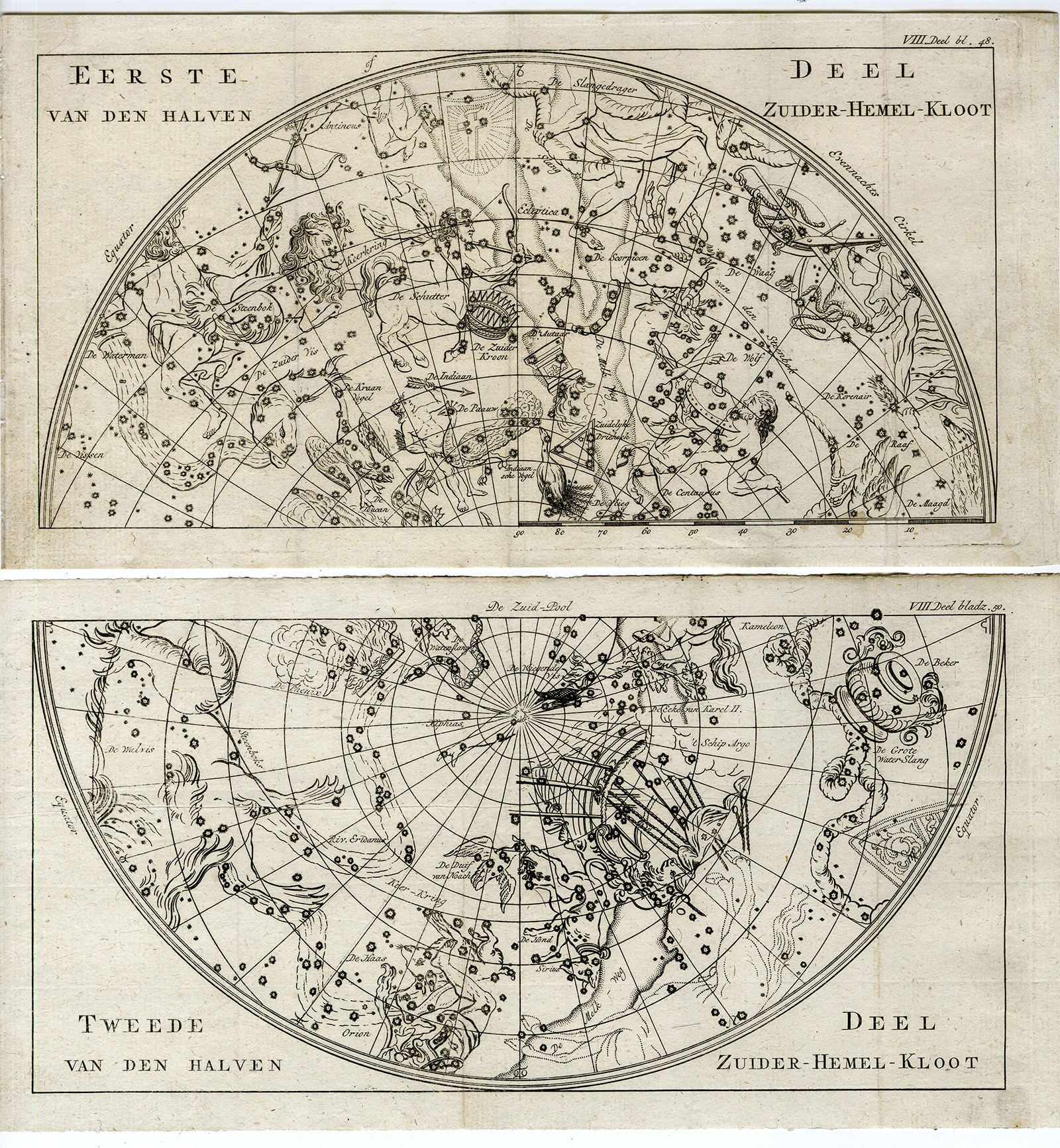
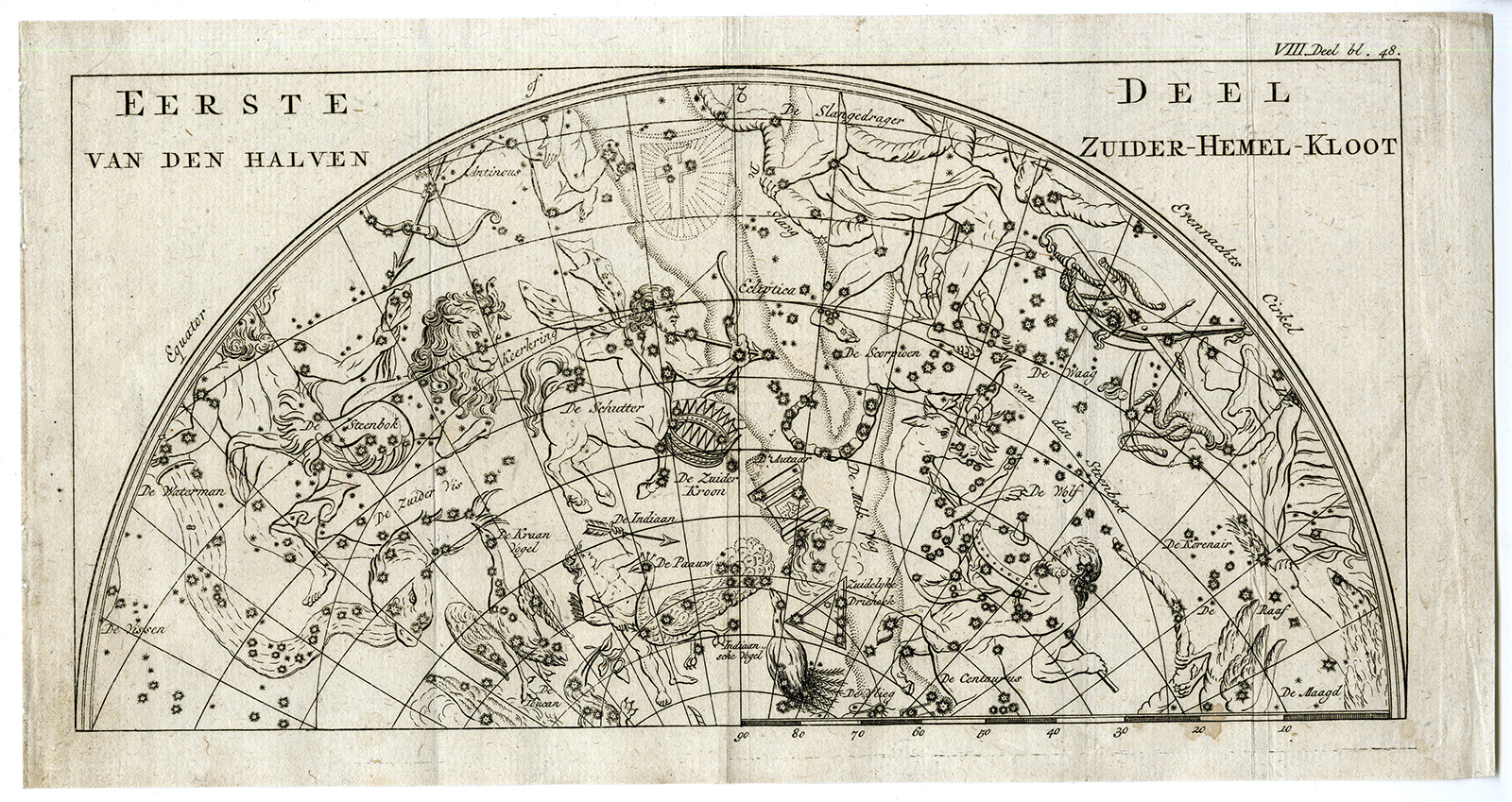
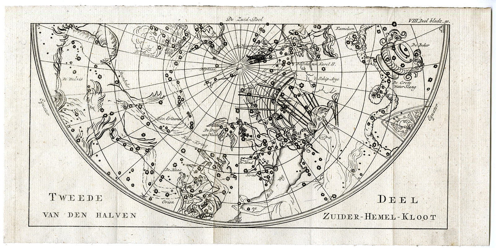
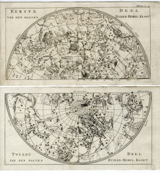
From a Dutch, 3rd. ed. of this work: ‘Schouwtooneel der Natuur …’, published by H. Gartman ao., 1799.
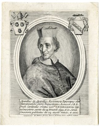
Biography artist: Noel-Antoine Pluche (1688-1761), known as the Abbe Pluche, was a French priest. He is now known for his Spectacle de la nature, a most popular work of natural history.

Reviews
There are no reviews yet.