
 Print
Print Description
Engraving on hand laid paper. on paper.
Size in cm: The overall size is ca. 56.3 x 47 cm. The image size is ca. 51.5 x 40.5 cm. Size in inch: The overall size is ca. 22.2 x 18.5 inch. The image size is ca. 20.3 x 15.9 inch.
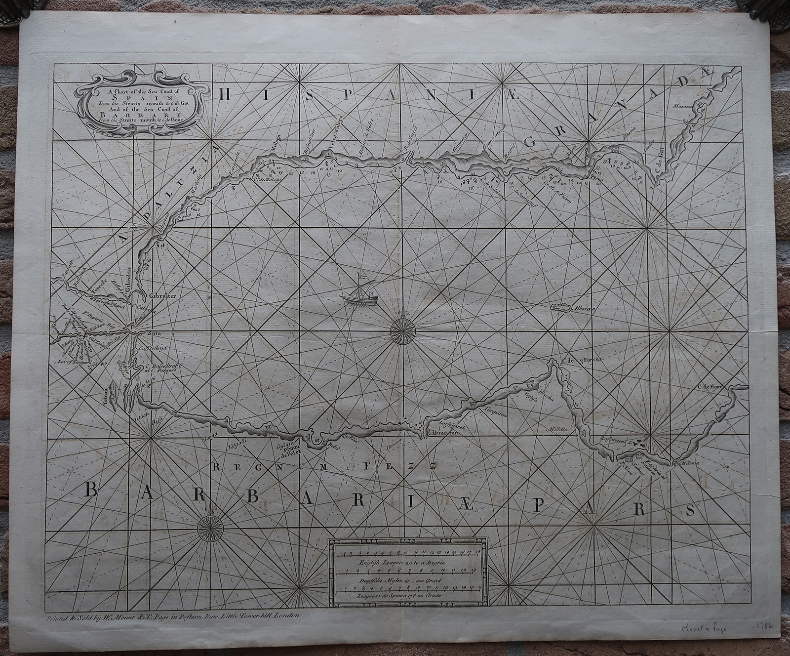
Antique map, titled: ”A Chart of the Sea Coast of Spain From the Straits mouth to C. de Gat And of the Sea Coast of Barbary from the Straits mouth to C. de Hone.” – Sea chart of the Alboran Sea, the Western part of the Mediterranean, showing the coasts of Southern Spain and Northern Morocco. Several coastal towns are indicated along with depth soundings along the coast. A compass rose and rhumb lines. Published by Mount & Page, London, ca. 1780.Artists and Engravers: Made by an anonymous engraver after ‘Mount & Page’.
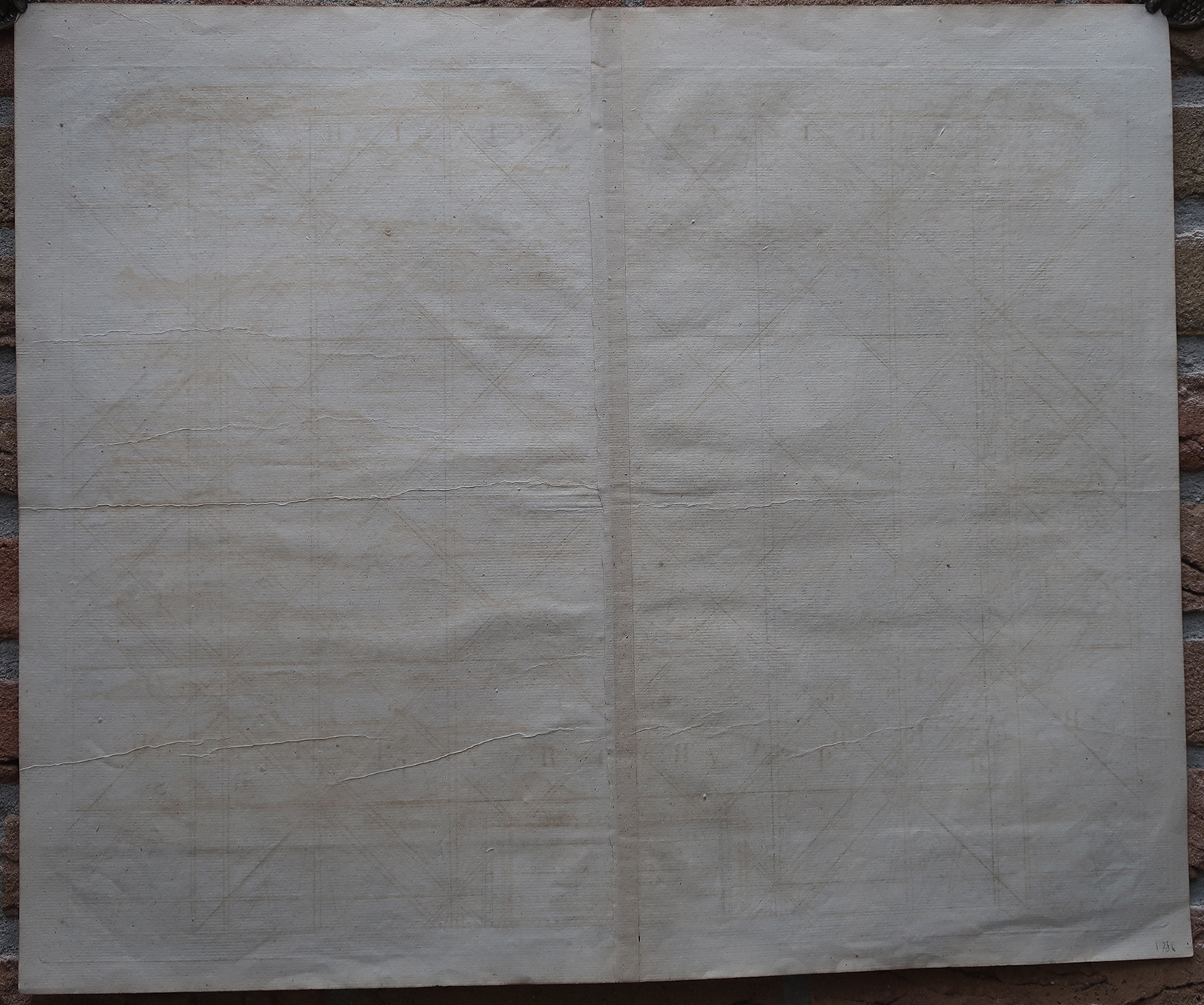
Condition: Very good, given age. Original middle fold, as issued. A few small creases in the margins. A horizontal printer”s crease (a sharp, thin crease caused in the printing process) in the middle of the sheet. General age-related toning and/or occasional minor defects from handling. Please study scan carefully.
Keywords: ANTIQUE MAP-SEA CHART-ALBORAN SEA-SAPIN-MOROCCO-MOUNT & PAGE
(PCO) GK-265

Reviews
There are no reviews yet.