
 Print
Print Description
Engraving on hand laid paper. on paper.
Size in cm: The overall size is ca. 56.4 x 45.9 cm. The image size is ca. 50.8 x 39.6 cm. Size in inch: The overall size is ca. 22.2 x 18.1 inch. The image size is ca. 20 x 15.6 inch.
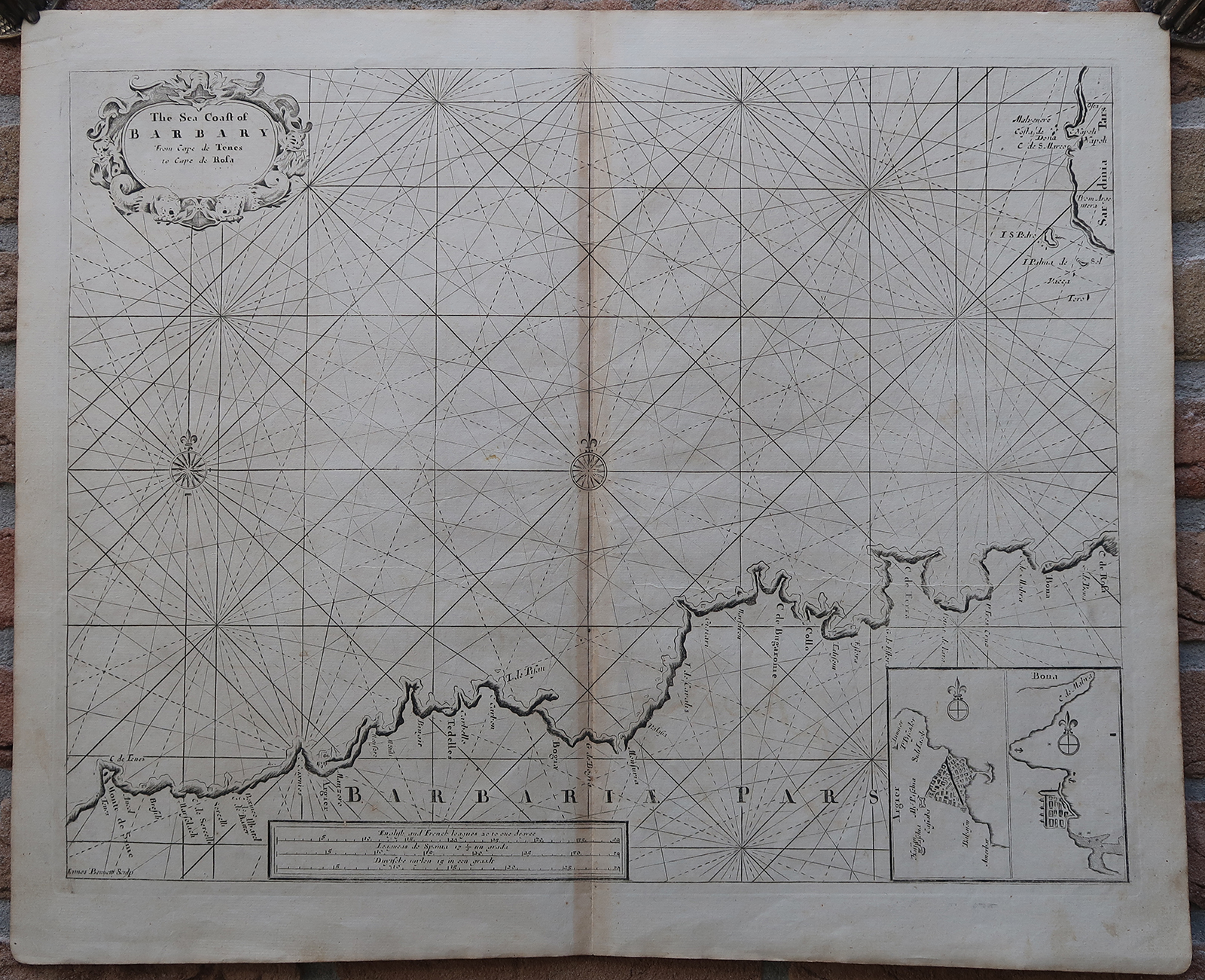
Antique map, titled: ‘The Sea Coast of Barbary from Cape de Tenes to Cape de Rosa.’ – Sea and coast chart of Algeria, from ca. Tipaza and Algiers to Annaba and El Kala. In the top right a part of Sardinia is shown. Two inset maps show detailed coastal maps of Algiers, and Bona (Annaba). From the third volume of “The English Pilot”, first published by Mount & Page in 1703. This atlas was reprinted several times until around 1760, we are not sure from which exact edition this map is.Artists and Engravers: Made by ‘James Bennett’ after ‘Samuel Thornton’. Samuel Thornton (d.1715) was the son the English mapmaker John Thornton, an eminent English mapmaker of the late seventeenth and early eighteenth century. After his father’s death in 1708, Samuel Thornton continued to re-issue his father’s map (often with his imprint substituted).
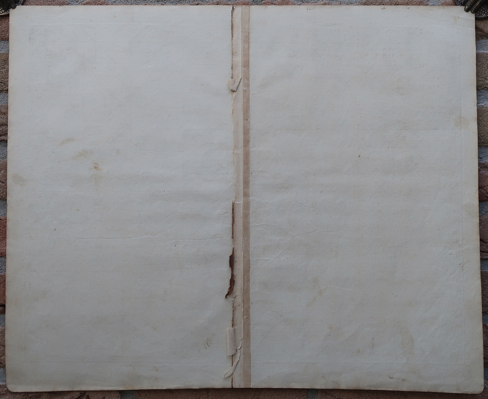
Condition: Very good, given age. Original middle fold, as issued. Browned along the middle fold. Soiling in the lower right margin corner. General age-related toning and/or occasional minor defects from handling. Please study scan carefully.
Keywords: ANTIQUE MAP-SEA CHART-AFRICA-ALGERIA-SARDINIA-ALGIERS-THORNTON-BENNETT
(PCO) GK-309

Reviews
There are no reviews yet.