
 Print
Print Description
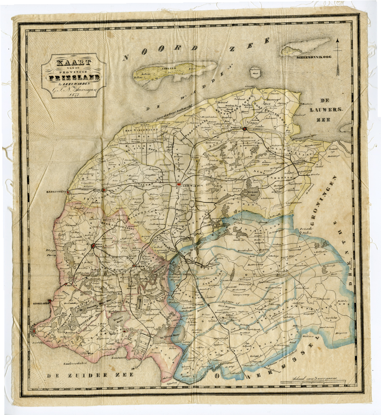
Kaart van de Provincie Friesland.
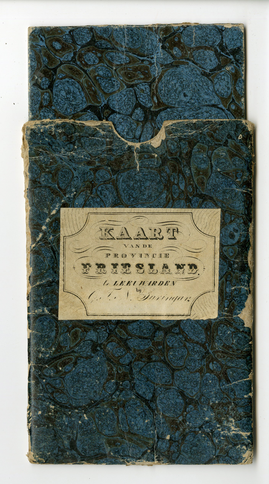
Copperplate engraving/etching on silk. Complete with the original protective marbled paper pocket (with interior and outer pocket) as published.
Sheet size: 37 X 40,5 cm. Image size: ca. 35,5 X 38,5 cm.
Te Leeuwarden bij G.T. Suringar 1847. (Published in Leeuwarden by G.T.N. Suringar in 1847. This map on paper was part of the Eekhoff-atlas, published by Wopke Eekhoff (1809-1880) in 1847. In 1837 the Frisian Government had ordered a new cartography for the Province. Applying triangular measurement de maps were made by J.W. Witteveen (drafsman at the kadaster), supervised by the engineer J.H. Jappé. The maps were engraved by D. and H. Veelwaard en lettered by L. Schweickhardt.
Maps printed on silk or linnen are very rare. We have not found any other copies of this map on silk.
Condition: Good, given age. Original folding as issued. General age-related toning and/or occasional minor defects from handling. Please study scan carefully.
Keywords: FRIESLAND-FRISIA-NETHERLANDS-MAP ON SILK
PCO-Expo-52

![Musei Linckiani - Serpentes [Johann SCHEUCHZER after PINTZ, 1731]](https://pictura-prints.com/wp-content/uploads/2018/10/pcom-600-324x464.jpg)
![CCCLXX. Canaanitae. [Johann SCHEUCHZER after TYROFF, 1731]](https://pictura-prints.com/wp-content/uploads/2018/10/pcom-0734-e1540471814455-324x504.jpg)

Reviews
There are no reviews yet.