
 Print
Print Description
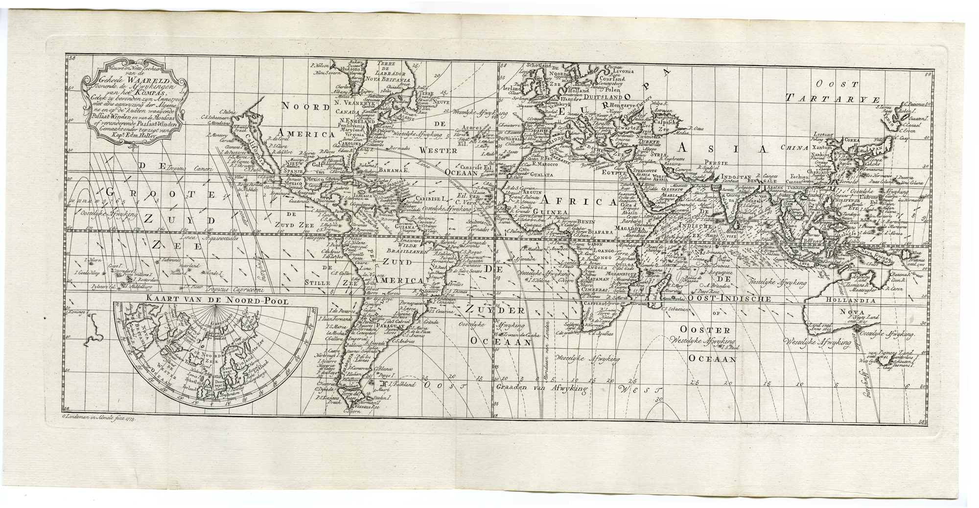
‘Nieuwe en Nette Zee-kaart van de geheele Waereldt (?)’
Copperplate engraving/etching on hand laid (verge) paper.
Sheet size: 52 x 25,8 cm. (20,5 x 10,2 inch). Image size: 47 x 19,6 cm. (18,5 x 7,7 inch).
From: ‘Wouter Schoutens, Reys-Togten naar en door Oost-Indien …’ (Wouter Schoutens travels into the East Indies), 1775 edition with newly engraved plates, published in Amsterdam.
Made by an anonymous engraver after ‘Wouter Schouten’.
Condition: Very good, given age. Small tear bottom margin, not affecting image. Original folds as issued. General age-related toning and/or occasional minor defects from handling. Please study scan carefully.
Keywords: WORLD-POLE-CURRENTS-HALLEY-HARBOURS
PCO-A7-21


Reviews
There are no reviews yet.