

Description
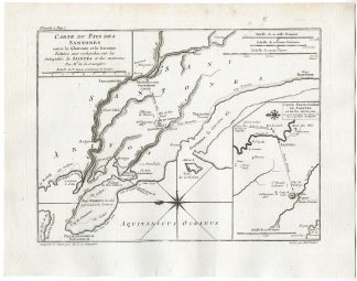
‘Carte du Pays de Santones.’
engraving on hand laid (verg?) paper.
Sheet size: 32 x 25 cm. (12,6 x 9,8 inch). Image size: 26 x 19,5 cm. (10,2 x 7,7 inch).
From: ‘Receuil d?Antiquites dans les Gaules …’, by M. de la Sauvagere = Felix-Francois de la Sauvagere (1707-1782), published by Herisant fils, Paris, 1770.
Made by ‘M. Lattre’ after ‘(Author) Sauvagere’. Felix-Francois de la Sauvagere (1707 – 1782), French army officer and writer.
Condition: Very good, given age. An occasional tiny spot. Original fold(s) as issued. General age-related toning and/or occasional minor defects from handling. Please study scan carefully.
Keywords: SAINTES-FRANCE-SAINTONGE-SANTONES
PCO-A18-24

Reviews
There are no reviews yet.