
 Print
Print Description
Etching / engraving on hand laid paper. on paper.
Size in cm: The overall size is ca. 34.5 x 29.2 cm. The image size is ca. 32.7 x 27.6 cm. Size in inch: The overall size is ca. 13.6 x 11.5 inch. The image size is ca. 12.9 x 10.9 inch.
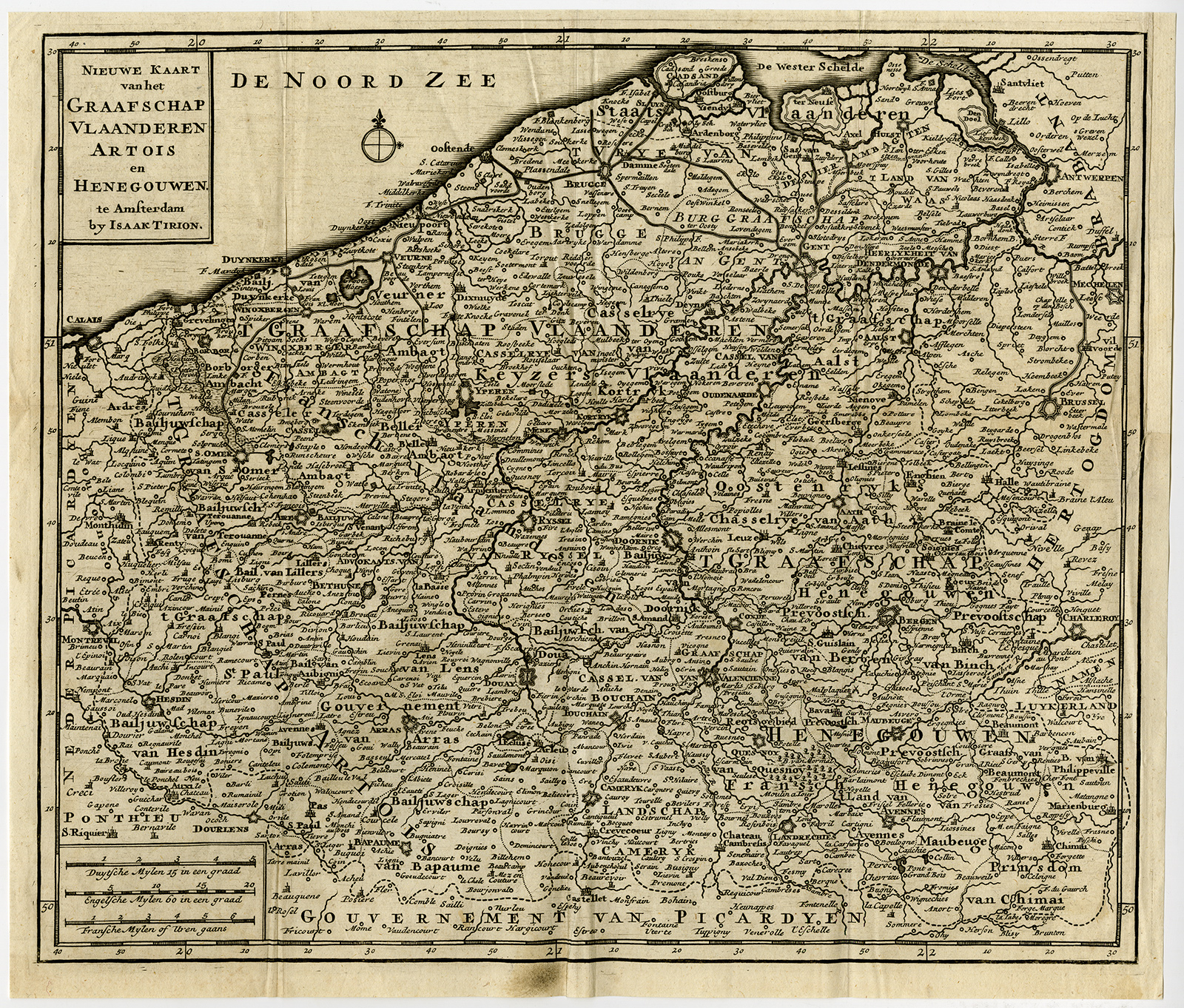
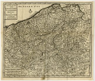
Antique print, titled: ‘Nieuwe kaart van het Graafschap Vlaanderen Artois en Henegouwen te Amsterdam. …’ – New Map of the County of Flanders, Artois and Hainault in Amsterdam. … From: Isaak Tirion’s ‘Hedendaagsche Historie, of Tegenwoordige Staat van alle volken.’Artists and Engravers: Anonymous.
Condition: Very good, given age. Small stains and soiling in the margin.Original fold. Small fold in the left upper corner of the margin. Small creases in the margin. Restored paper damage in the right side of the margin through the image General age-related toning and/or occasional minor defects from handling. Please study scan carefully.
Keywords: ANTIQUE PRINT-MAP-COUNTY-FLANDERS-ARTOIS-HAINAULT-AMSTERDAM-TIRION
PCOX-E1-37
![TITLE PAGE-KING OF DENMARK-COAT OF ARMS-FREDERICK IV [After OLEARIUS, 1719]](https://pictura-prints.com/wp-content/uploads/2019/03/pcom-0634-324x493.jpg)

Reviews
There are no reviews yet.