
 Print
Print Description
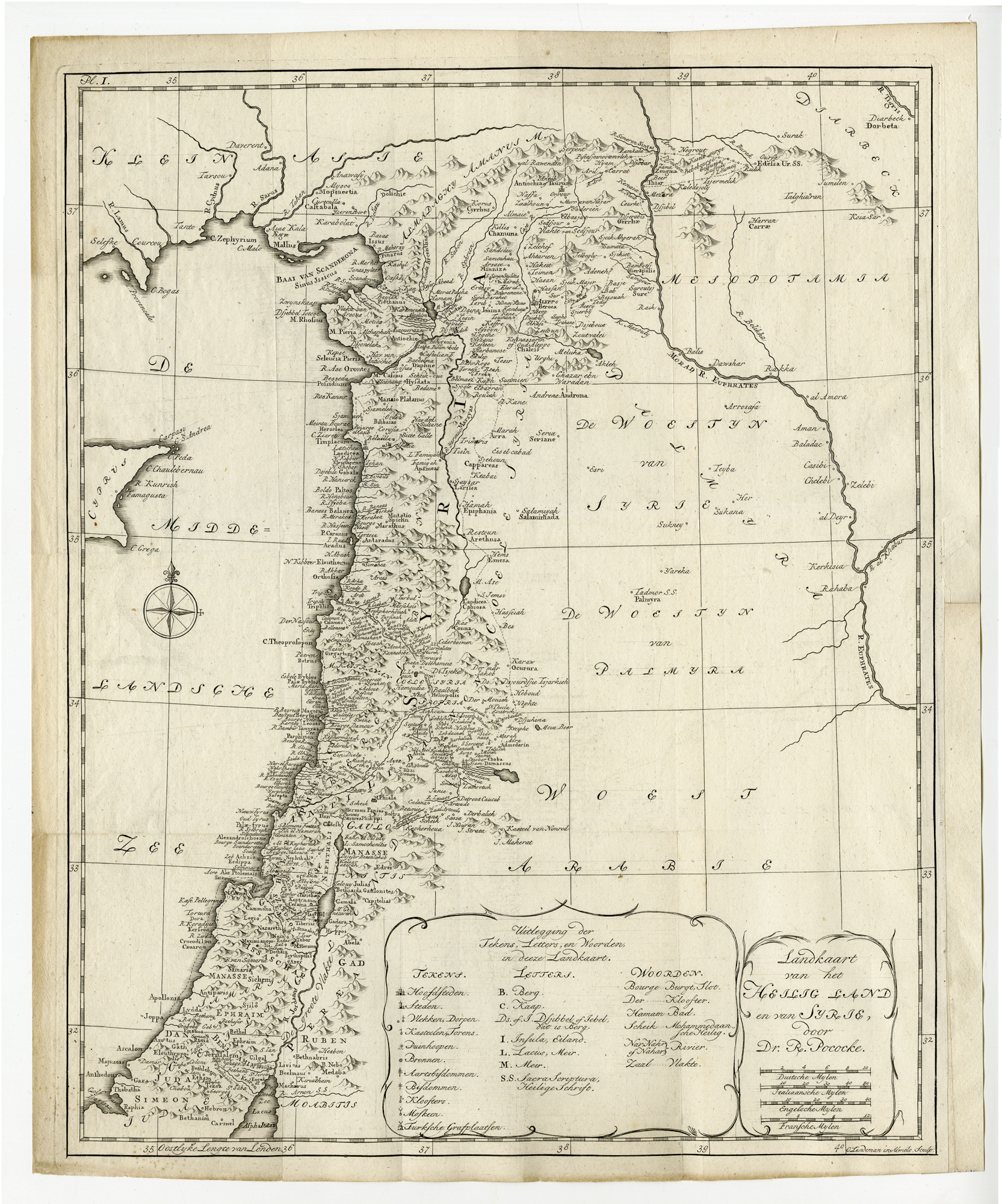
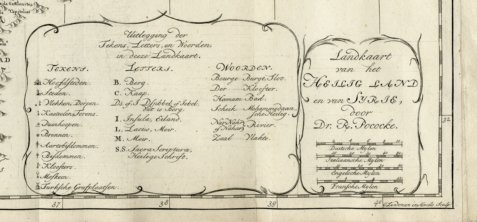
‘Pl. I. Landkaart van het Heilig Land en van Syrie (…).’
engraving on hand laid (verge) paper.
Sheet size: 0 x 0 cm. (0 x 0 inch). Image size: 0 x 0 cm. (0 x 0 inch).
From: ‘Beschryving van het Oosten, en van eenige andere landen’ by Richard Pococke, Dutch edition published 1776.
Made by ‘Otto Lindeman’ after ‘(author) Richard Pococke’. The author of this work is Richard Pococke (1704 ? 1765), an English prelate and anthropologist. He was the Bishop of Ossory (1756-65) and Meath (1765), both dioceses of the Church of Ireland. However, he is best known for his travel writings and diary.
Condition: Very good, given age. Original folds as issued. General age-related toning and/or occasional minor defects from handling. Please study scan carefully.
Keywords: HOLY LAND-PALESTINE-ISRAEL-SYRIA-MIDDLE EAST
PCOM-A11-38


Reviews
There are no reviews yet.