
 Print
Print Description
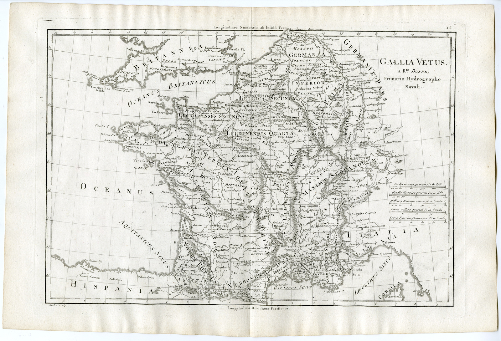
‘Gallia Vetus (?).’
Copperplate engraving/etching on hand laid (verge) paper.
Sheet size: 42 x 28 cm. (16,5 x 11 inch). Image size: 34,8 x 24,2 cm. (13,7 x 9,5 inch).
Atlas encyclopedique, contenant la geographie ancienne et quelques cartes (?) by Rigobert Bonne and Nicolas Desmarest, published in France 1787.
Made by an anonymous engraver after ‘Rigobert Bonne’.
Condition: Very good, given age. A few minor crinkles. Original middle fold as issued. General age-related toning and/or occasional minor defects from handling. Please study scan carefully.
Keywords: FRANCE-GALLIA VETUS-GAUL-BELGIUM-LUXEMBOURG
PCOM-A8-26

Reviews
There are no reviews yet.