
 Print
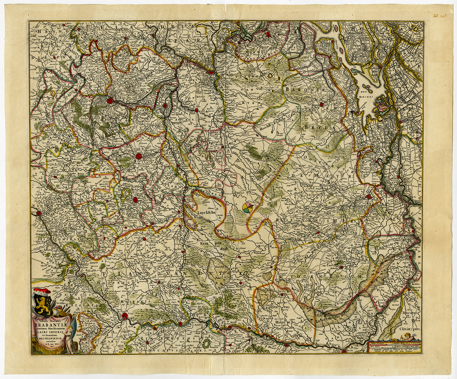
Print Description
Subject: Antique print, titled: ‘Tabula Ducatus Brabantiae continens Marchionatum Sacri Imperii et Dominium Mechliniense emendata a F. de Wit. 1666.’ – (Map of the Duchy of Brabant in The Netherlands and Belgium.) With the cities: Brussels, Luik, Mechelen, Antwerp, Breda, Eindhoven, ‘s-Hertogenbosch and many others.
Condition: Good, given age. Original middle fold as issued, partly separated, reinforced using contemporary paper backed with acid free archival tape. No text on rear. General age-related toning and/or occasional minor defects from handling. Please study scan carefully.
Medium: Hand coloured engraving on hand laid paper.
Size (in cm): The overall size is ca. 61.8 x 51.5 cm. The image size is ca. 54.8 x 46.5 cm.
Size (in inch): The overall size is ca. 24.3 x 20.3 inch. The image size is ca. 21.6 x 18.3 inch.
Part Number: 54522
Location: PCO-P8-20
Description: Source unknown, to be determined.
Artists and Engravers: Anonymous.

Reviews
There are no reviews yet.