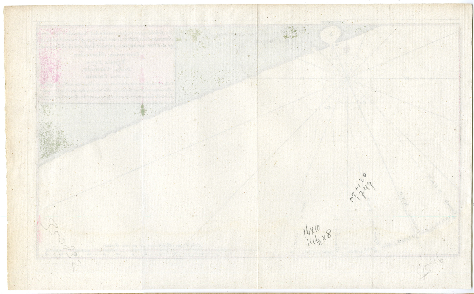
Antique Print-ANTIQUE MAP-HARBOUR ACAPULCO-MEXICO-SOUTH AMERICA-Anonymous-1749

Print

97.00

This is an original antique chart of the Harbour Acapulco, Mexico, South America, from “Mr. Anson voyages”. Acapulco (officially: Acapulco de Juárez) is a city and major sea port in the state of Guerrero on the Pacific coast of Mexico, 190 miles southwest from Mexico City. The hand coloured (later date) antique map shows the routes of the vessels Centurion, Gloucester, Tryals Prys, Carmelo, Carmn and Gloucester. This map was printed in 1749 and is in a fine condition The overall size is 16 inch x 10 inch. The image size is 14,5 inch x 8 inch.

Out of stock

SKU: 02620 Category: Tag:

Description

etching / engraving on hand laid (verg?) paper.
Sheet size: x cm. (0 x 0 inch). Image size: x cm. (0 x 0 inch).

Source unknown, to be determined.

Anonymous.

Condition: Good, given age. General age-related toning and/or occasional minor defects from handling. Please study scan carefully.

Keywords:

ISCRA PCO-A1-38
Additional information

Dimensions 1 cm

Reviews

There are no reviews yet.

Be the first to review “Antique Print-ANTIQUE MAP-HARBOUR ACAPULCO-MEXICO-SOUTH AMERICA-Anonymous-1749”

You might also like: