
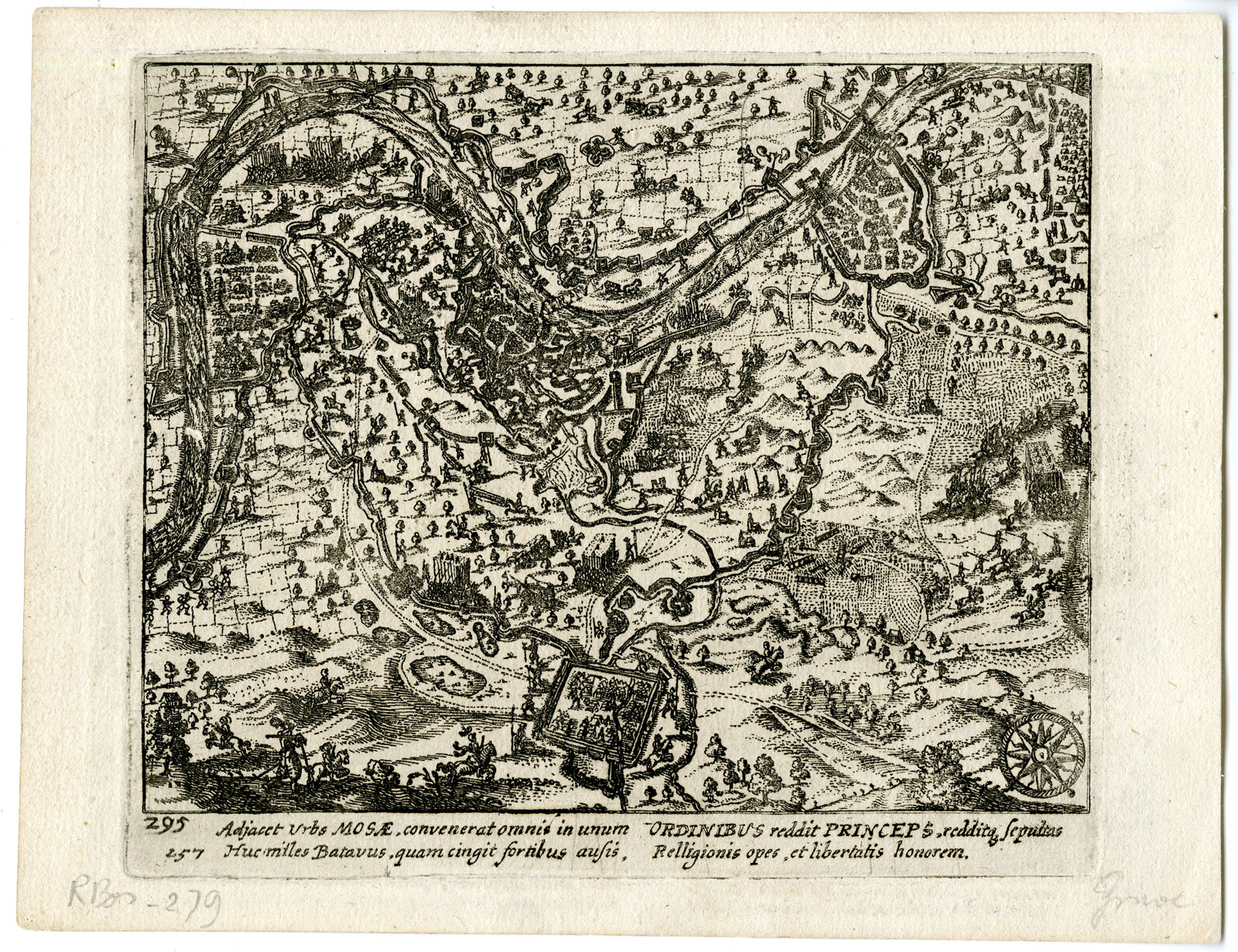
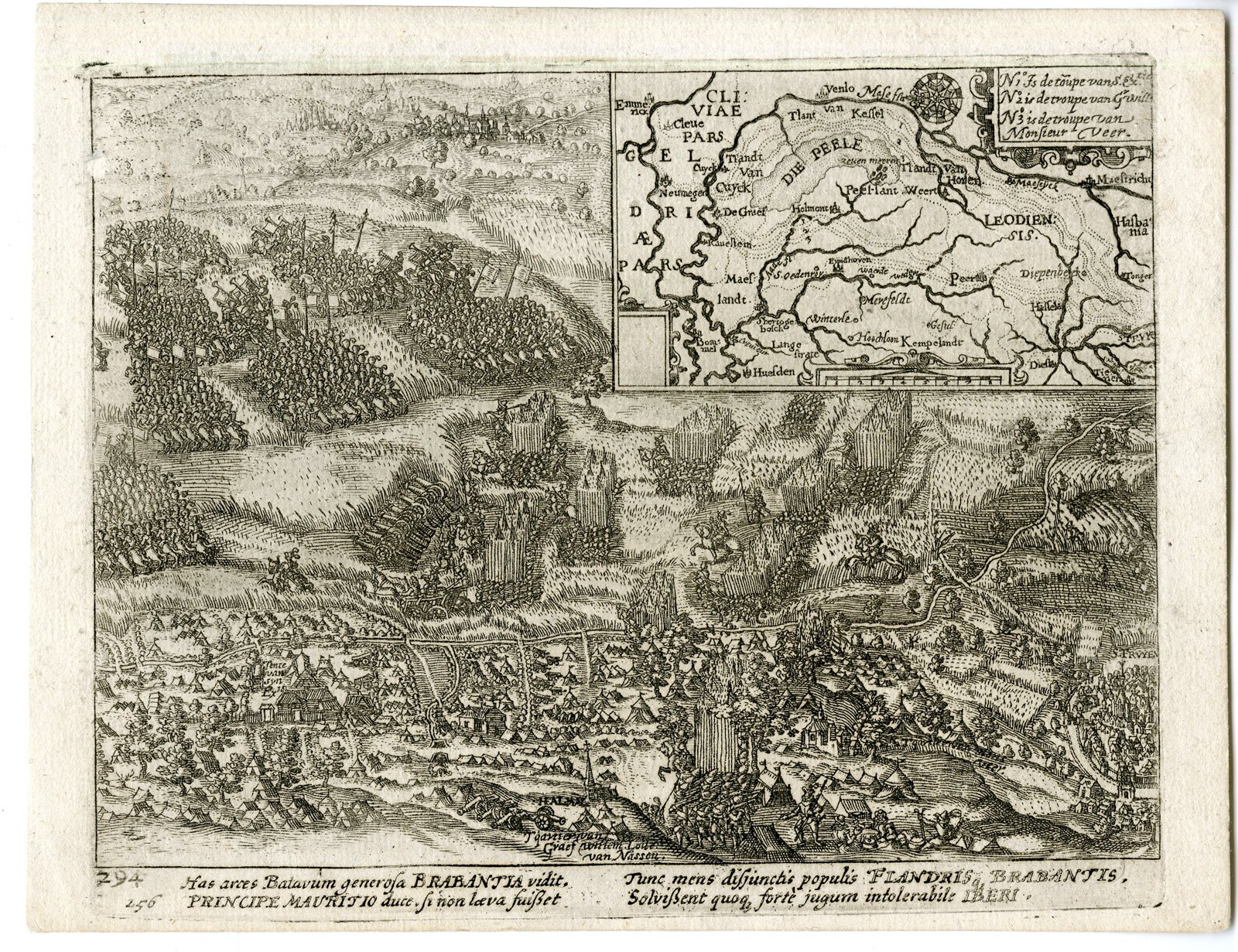
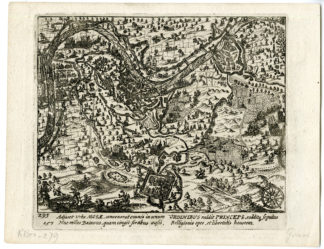
Description
Etching / engraving, handcoloured on hand laid paper.
Sheet size: 42 x 37,5 cm. (16,5 x 14,8 inch). Image size: 39 x 34,2 cm. (15,4 x 13,5 inch).
From: ‘Les guerres de Nassau…’, by G. Baudartius / G. Baudart, published in Amsterdam by M. Colin de Thovoyon in 1616. This important work on the first five decades of the 80 Years War raging in the Netherlands, Belgium and the western part of Germany from 1568-1648, was written from a Contra-Remonstrant point of view. Many of the plates are after ‘Geschichtsblatter’ by Frans Hogenberg and after plates from J. J. Orlers’ work. New plates were added as well.
Made by ‘Simon Frisius’ after an anonymous artist.
Condition: Good, given age. General age-related toning and/or occasional minor defects from handling. Please study scan carefully.
Keywords: 1603 CAMPAIGN-MAURITS-EIGHTY YEAR WAR
RBOS-A3-31 (RB-279)


Reviews
There are no reviews yet.