
Description
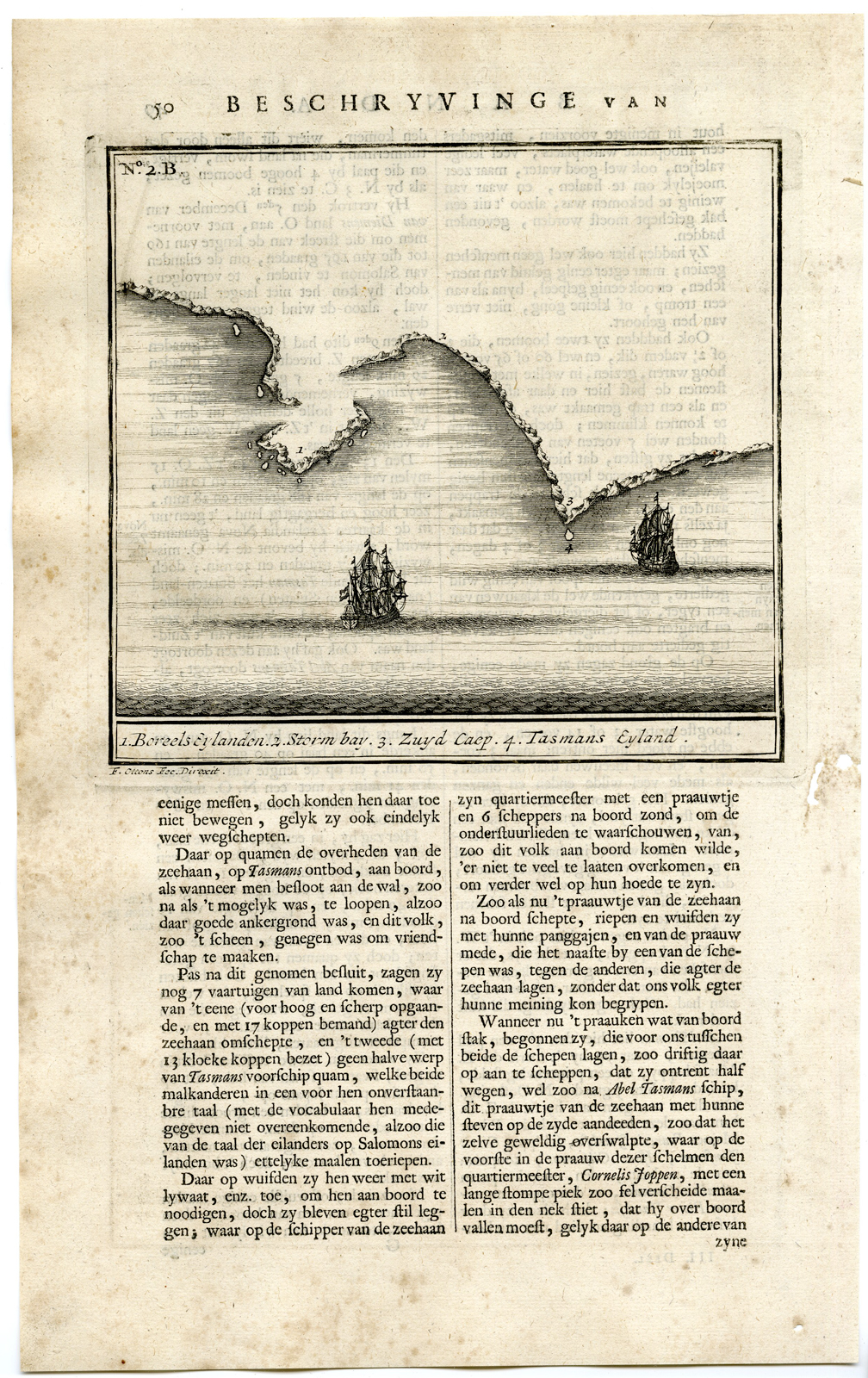
No.2.B. 1. Boreels Eylanden. 2. Storm bay. 3. Zuyd Caep. 4. Tasmans Eyland.
Copperplate engraving/etching on hand laid (verge) paper.
Sheet size: 20,2 x 32,3 cm. (8 x 12,7 inch). Image size: 16,2 x 14,8 cm. (6,4 x 5,8 inch).
From the monumental work by François Valentyn: “Oud en nieuw Oost-Indiën, vervattende een naaukeurige en uitvoerige verhandelinge van Nederlands mogentheyd in die gewesten”. Dordrecht/Amsterdam: J. van Braam en G. onder de Linden, 1724/1726. (Transl.: Old and new East-Indies, including an accurate and extensive description of Dutch / VOC controlled territories.)
Made by Frederick Ottens after an anonymous artist. François Valentijn / Valentyn (1666-1727), was a Dutch minister, naturalist and author. He was send by the VOC as a missionary and mostly worked at Amboina from 1684-1694 and 1705-1713. He traveled extensively in the VOC controlled territories and befriended the German naturalist Georg Eberhard Rumpf (Rumphius). He probably had access to VOC archives and compiled much in this momumental work from others as well.
Condition: Good, given age. Two small holes at middle right paper edge margin. Light foxing. General age-related toning and/or occasional minor defects from handling. Please study scan carefully.
Keywords: TASMANIA-SHORE-SHIPS
PCO-A8-42

Reviews
There are no reviews yet.