
Description
Engraving on hand laid paper. Watermark: Eagle. on paper.
Size in cm: The overall size is ca. 93.4 x 64.5 cm. The image size is ca. 86.8 x 55.9 cm. Size in inch: The overall size is ca. 36.8 x 25.4 inch. The image size is ca. 34.2 x 22 inch.
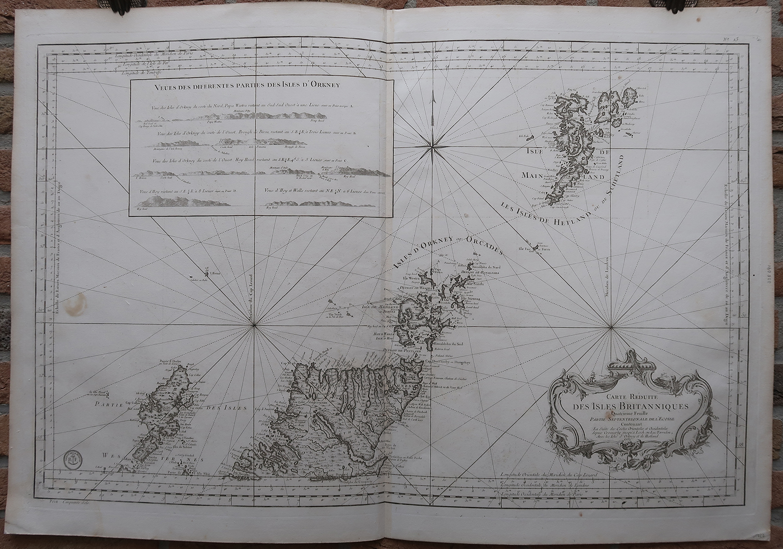
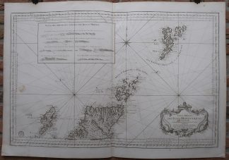
Antique map, titled: ‘Carte Reduite des Isles Britanniques Quatrieme Feuille Partie Septentrionale de l’Ecosse […].’ – A sea chart/map of Northern Scotland, showing Lewis and Harris, the Orkney Islands and the Shetland islands, as well as the area from Dingwall and Dornoch North. A few depth soundings and some current directions are indicated. A decorative cartouche in the lower right. Published by the Depot de la Marine. From: ‘L’Hydrographie Francoise Recueil des Cartes Generales et Particulieres qui ont ete Faites pour le Service des Vaisseaux du Roy. Par ordre des Ministres de la Marine depuis 1737. jusqu’en 1765.’ Par le S. Bellin Ingenieur de la Marine et du Depost des Cartes, Plans et Journaux de la Marine, Censeur Royal, de l’Academie de Marine et de la Societe Royale de Londres.Artists and Engravers: Made by an anonymous engraver after ‘Jacques-Nicolas Bellin’. Jacques-Nicolas Bellin (1703-1772) was one of the most important cartographers of the 18th century. With a career spanning some 50 years, Bellin is best understood as geographe de cabinet and transitional mapmaker spanning the gap between 18th and early 19th century cartographic styles. His long career as Hydrographer and Ingénieur Hydrographe at the French Dépôt des cartes et plans de la Marine resulted in hundreds of high quality nautical charts of practically everywhere in the world.
Condition: Very good, given age. Original middle fold, as issued. Dampstained in the lower left and right margin and image corners, a stain in the left edge of the image (result of an ink stamp on the rear). Creasing along the middle fold. Small stains in the top right margin, and one in the cartouche. Some offsetting from where the chart was folded on itself. General age-related toning and/or occasional minor defects from handling. Please study scan carefully.
Keywords: ANTIQUE MAP-SEA CHART-SCOTLAND-SHETLAND-ORKNEY-BELLIN-DEPOT DE LA MARINE
(PCO) GK-061


Reviews
There are no reviews yet.