
 Print
Print Description
Engraving on hand laid paper. on paper.
Size in cm: The overall size is ca. 62.4 x 53.7 cm. The image size is ca. 59.1 x 50.6 cm. Size in inch: The overall size is ca. 24.6 x 21.1 inch. The image size is ca. 23.3 x 19.9 inch.
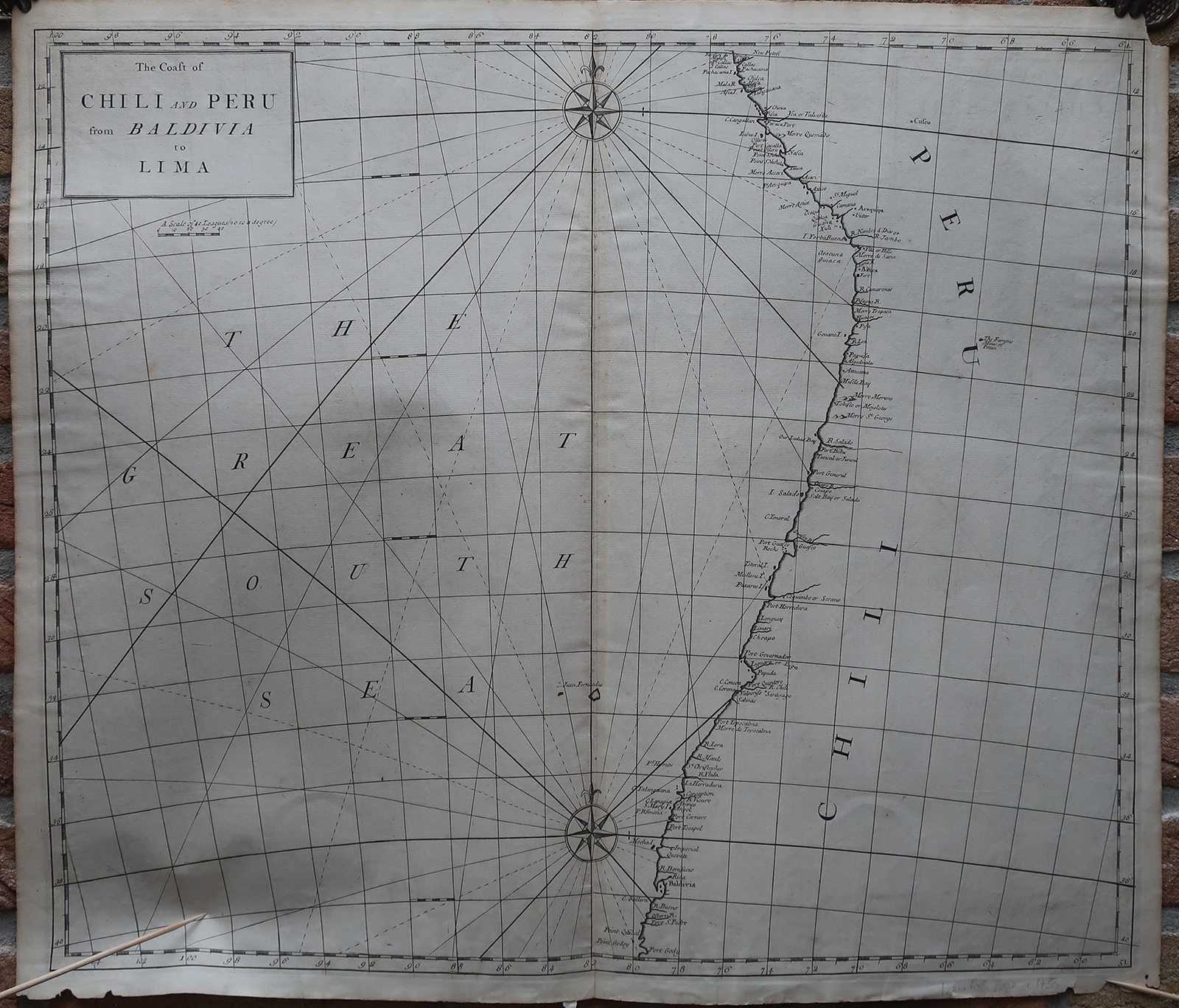
Antique map, titled: ”The Coast of Chili and Peru from Baldivia to Lima.” – Sea chart of the Pacific coast of Chile and Peru. Cusco and the ”Mines of Potosi” (important silver mines) are indicated inland. From “Atlas maritimus & commercialis: or, a General View of the World, so far as Relates to Trade & Navigation”, London: J. & J. Knapton, et al, 1728. This very rare work was a collaborative effort of a number of the leading cartographic and scientific names of the period, including Sir Edmund Halley, John Senex, Nathaniel Cutler, Steven Parker and Daniel Defoe, whose names are frequently associated with this work. The sea atlas was developed by Senex and Harris to compete with Mount & Page’s wildly popular English Pilot sea series, but did not come to much fruitition and as such the maps are scarse.Artists and Engravers: Made by an anonymous engraver after ‘Cutler & Halley’. Edmond Haller (1656-1742) was an English astronomer, meteorologist and geophysicist. Nathaniel Cutler.
Condition: Very good, given age. Original middle fold, as issued. Some faint offsetting where the map was folded on itself. Minimal paper loss in the top right and lower left and right margin corners (not affecting image). Some creasing in the top margin. Paper separation in the lower margin and lower image edge (extending minimally into image area). General age-related toning and/or occasional minor defects from handling. Please study scan carefully.
Keywords: ANTIQUE MAP-SEA CHART-PACIFIC-CHILE-PERU-POTOSI-CUSCO-SENEX-KNAPTON
(PCO) GK-253


Reviews
There are no reviews yet.