
 Print
Print Description
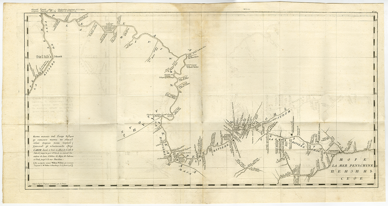
Map : ‘Karte ploskaja ot goroda Jakucka do Ochockago porta po rekam Leny Aldana Maji Jodomy i Urakom do Penzinskavo morjal’. A detailed map of the Urak River near Okhotsk, eastern Siberia from an unidentified source. The title of the map also in French ” Carte dress?e et levee en allant de la ville de Jakuzk jusqu’ au por d’Ochozk en suivant le rivieres de Lena, d’Aldan, de Maja, de Judoma, et Urak jusq’a la mer Penschine.”. Part of the text is in Russian and part in French. In addition to the title “Par un Anglois nomm? William Walton qui en envoya l’original ? Mr. Visher ? St. Petersbourg le 15 fevrier 1743.
Made by after an anonymous artist.
Medium: engraving / etching on hand laid (verge) paper.
Sheet size: 75 x 39 cm (29.53 x 15.35 inch). Image size: 69 x 35 cm. (27.17 x 13.78 inch).
Condition: good, given age. Original folds as issued. Some browning near vertical middle fold and slight offsetting. General age-related toning and/or occasional minor defects from handling. Please study scan carefully.
RUSSIA-SIBERIA-URAK RIVER-OKHOTSK-YAKUTSK | DP-A3-001-15
BACKGROUND INFORMATION
This original antique map originates from ‘Atlas universel pour l’etude de la geographie et de l’histoire ancienne et moderne’ published in France ca. 1780. Artists and Engravers: This map by E. Dussy.


Reviews
There are no reviews yet.