
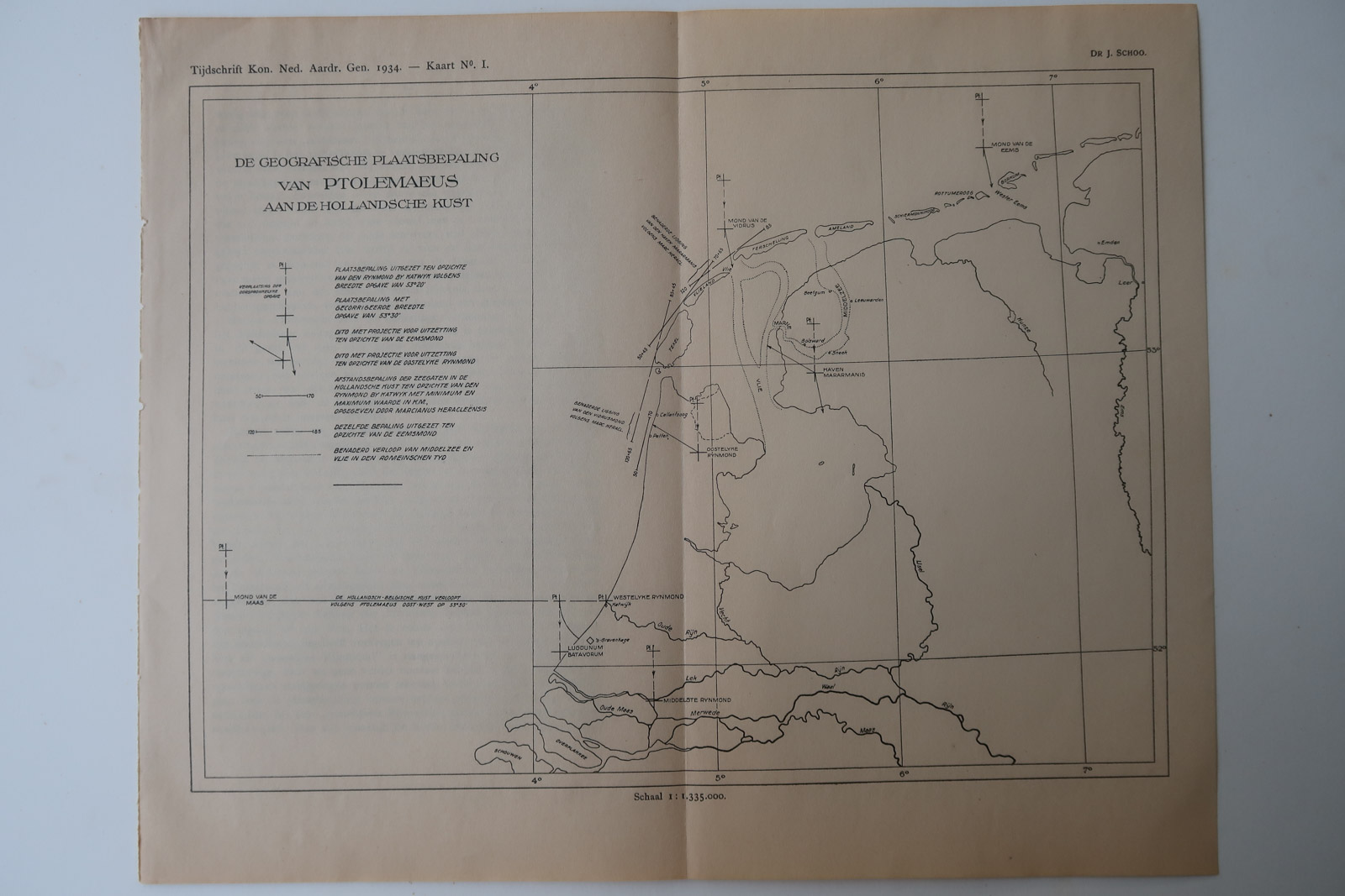
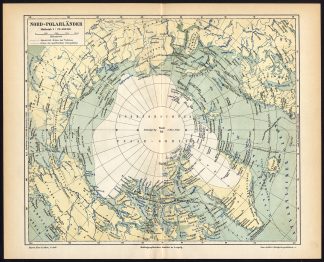
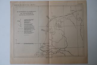
Description
Map showing the mapping of Ptolomaeus realated to present day the Netherlands.
Made by an anonymous engraver after Dr. J. Schoo.
Medium: Lithograph on wove (vellin) paper.
Image size: 27 x 20.5 cm. (10.63 x 8.07 inch).
Condition: good, given age. Original folds as issued. General age-related toning and/or occasional minor defects from handling. Please study scan carefully.
PTOMOMAEUS-THE NETHERLANDS | PCO-B5-22
BACKGROUND INFORMATION
Source: ‘Tijdschrift van het Koninklijk Nederlandsch Aardrijkskundig Genootschap’, a periodical published from 1888-1966, initially published by C.F. Stemler and later by Brinkman/Beijers (from 1879) and Brill (from 1894). This item dates from 1934.


Reviews
There are no reviews yet.