
 Print
Print Description
Etching/engraving on hand laid paper. on paper.
Size in cm: The overall size is ca. 46.6 x 31.6 cm. The image size is ca. 33.2 x 23.1 cm. Size in inch: The overall size is ca. 18.3 x 12.4 inch. The image size is ca. 13.1 x 9.1 inch.
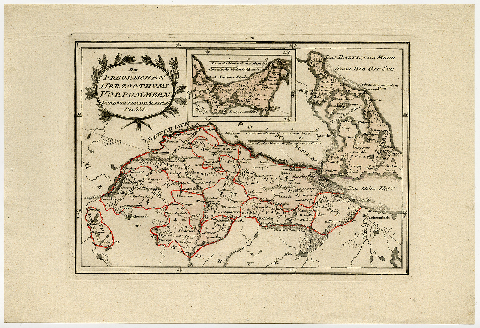
Antique map, titled: ‘Des Preussischen Herzogthums Vorpommern. Nordwestliche Aemter. Nro. 332.’ – This print shows the map of Mecklenburg and Pomerania (Pommern) region, Germany/Prussia. Schauplatz Der Funf Theile der Welt’ (Wien: Reilly, 1791-1806), a world atlas in 830 maps by Franz Joseph Johann von Reilly.Artists and Engravers: Made by an anonymous engraver after ‘Franz Joseph Johann von Reilly’. Franz Joseph Johann von Reilly (1766-1820) was a Vienna based art dealer. He is also known as the author of two atlases. The maps were engraved by Ignaz Alberti (also Ignaz Albrecht, 1760-1794). Ignaz was an Austrian illustrator, publisher and engraver.
Condition: Very good, given age. Four small binding holes in the left margin. A small wormhole in the lower right corner, between the image and the plate edge. General age-related toning and/or occasional minor defects from handling. Please study scan carefully.
Keywords: ANTIQUE MAP-POMERANIA-MECKLENBURG-GERMANY-PRUSSIA-REILLY
PCOX-E7-30

Reviews
There are no reviews yet.