
 Print
Print Description
Chromolithograph on wove (vellin) paper. on paper.
Size in cm: The overall size is ca. 19 x 23.6 cm. The image size is ca. 15.3 x 19.9 cm. Size in inch: The overall size is ca. 7.5 x 9.3 inch. The image size is ca. 6 x 7.8 inch.
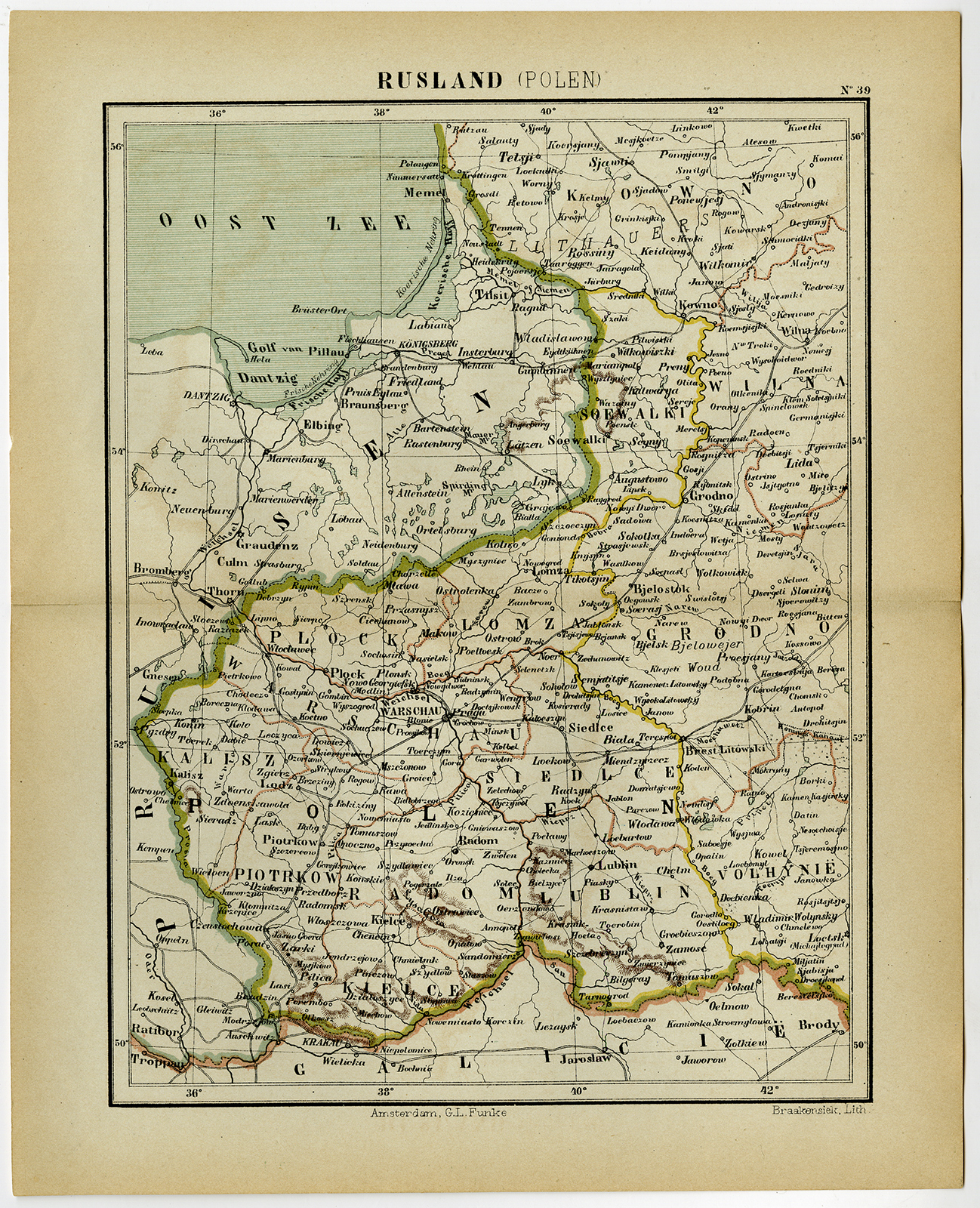
Antique map, titled: ‘Rusland (Polen).’ – A map of historic Poland when it was still part of Russia. “Wereld-atlas voor Kantoor en Huiskamer” (transl: World Atlas for the office and living room), by J. Kuyper, published in 1880 – 1882 in Amsterdam, The Netherlands by G. L. Funke.Artists and Engravers: Made by an anonymous engraver after ‘Jacob Kuyper’. Jacob Kuyper (1821 – 1908), Dutch cartographer.
Condition: Very good, given age. Original middle fold, as issued. Margin edges faintly browned. Minimal paper separation in the left and right edges of the middle fold (not affecting image). General age-related toning and/or occasional minor defects from handling. Please study scan carefully.
Keywords: ANTIQUE MAP-POLAND-RUSSIA-BALTIC SEA-KUYPER
(PCO) C153-38


Reviews
There are no reviews yet.