
Description
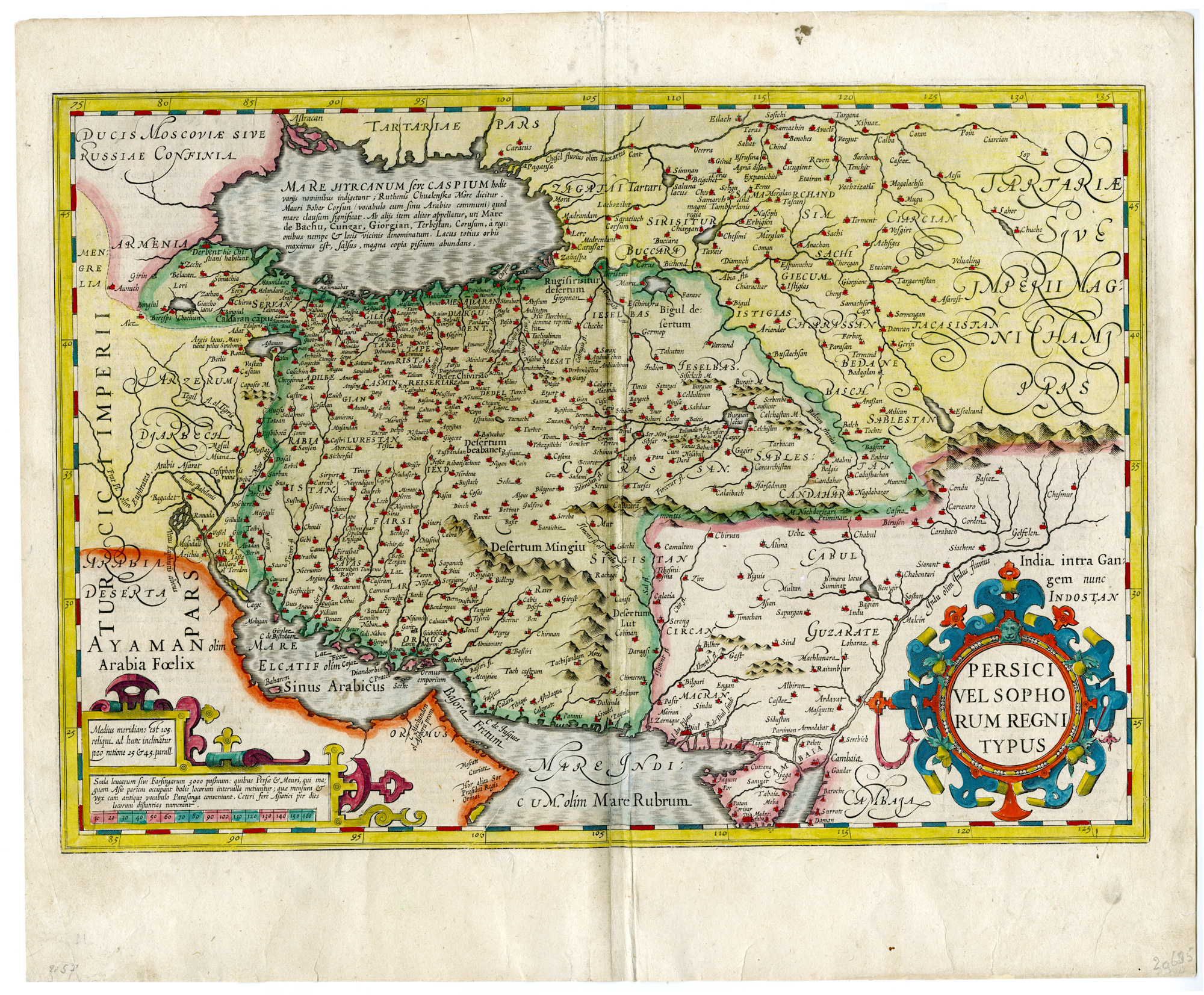
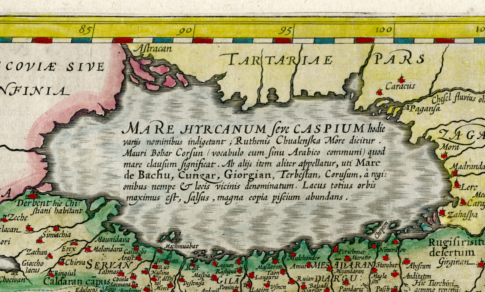
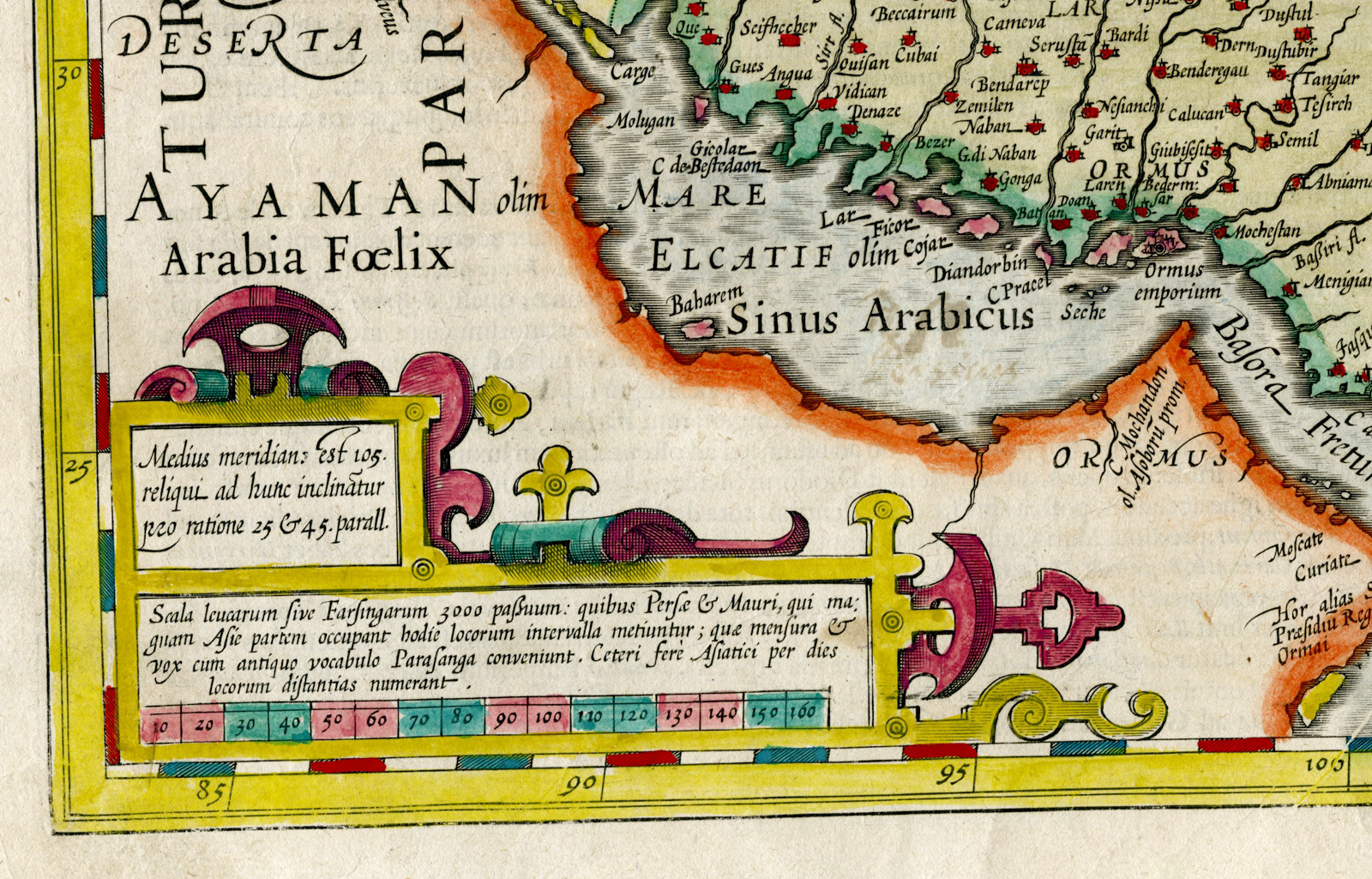
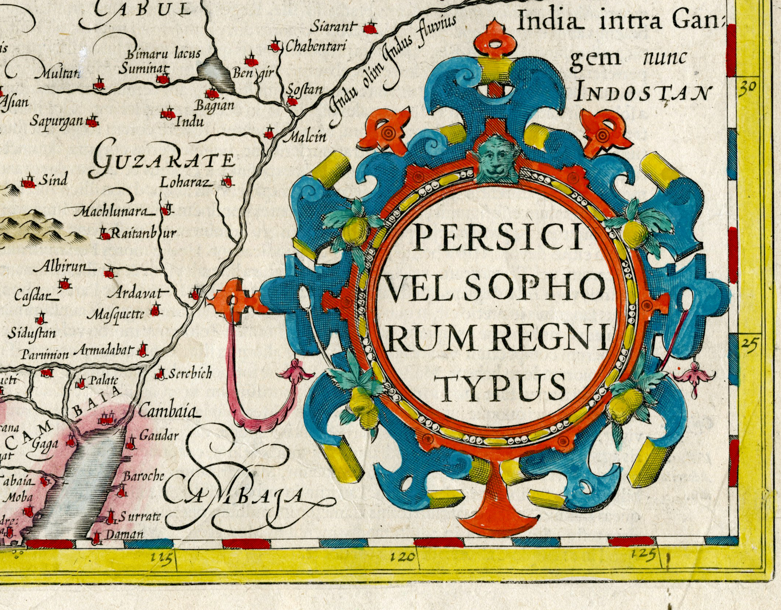
This handcoloured print shows a map of Persia, Iran. It displays the contemporary territories of Iraq and Afghanistan. Notably, the map highlights key cities such as Bagadet (Baghdad), Chabul or Cabul (Kabul), which is situated to the south rather than the north of Candahar (Kandahar), and various other towns and cities. This map offers a fascinating glimpse into how Western observers perceived the geography of the interior during the early 1600s. Embellished with two elaborate strap-work cartouches. Text in latin on reverse.
Made by an anonymous engraver after Hondius-Mercator.
Medium: Engraving on hand laid (verge) paper.
Sheet size: 54 x 44.5 cm (21.26 x 17.52 inch). Image size: 50 x 35 cm. (19.69 x 13.78 inch).
Condition: good, given age. Fold as published. Extra fold in middle. Brownish edges. Creases. Smudges. Stains. Tears restored in margin. General age-related toning and/or occasional minor defects from handling. Please study scan carefully.
MAP-IRAN-PERSIA-MIDDLE EAST-IRAQ-ARMENIA-AFGHANISTAN-GEORGIA-PAKISTAN | RBOS-T33-LARGE
BACKGROUND INFORMATION
This attractive print was published from the French edition of the Mercator / Hondius Atlas, published by Hendrik Hondius in Amsterdam 1633. .
Reference: Koeman, Atlantes neerlandic, part II, item [132]. .


Reviews
There are no reviews yet.