
 Print
Print Description
Original colour lithographs. on paper.
Size in cm: The overall size is ca. 24 x 30 cm. The image size is ca. 21 x 26.5 cm. Size in inch: The overall size is ca. 9.4 x 11.8 inch. The image size is ca. 8.3 x 10.4 inch.
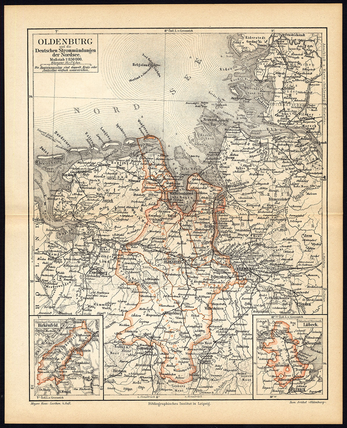
Map: ‘Oldenburg und die Deutschen Strommundungen der Nordsee.’ (Map of Oldenburg and the German North Sea estuaries, Germany). This original map originates from the fourth edition of the famous encyclopedia Meyers’ Konversationslexikon. This edition was published 1885 to 1892. The plates and maps from Meyers’ encyclopedia were used in other encyclopedias, like Brockhaus and the Dutch Oosthoek and Winkler Prins.Artists and Engravers: The original founder and publisher who initiated this famous enxyclopedia was Joseph Meyer (1796-1856, Hildburghausen, Germany).
Condition: Excellent, given age. Original middle fold. General age-related toning and/or occasional light staining. Please study scan carefully.
Keywords: ANTIQUE MAP-OLDENBURG-NORTH SEA-GERMANY-MEYERS
(PCOMAN) A176-20

Reviews
There are no reviews yet.