
 Print
Print Description
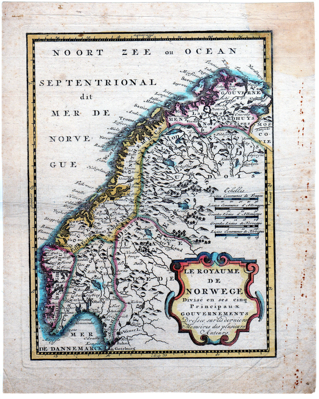
This print shows a view on a map of Norway. Title cartouche bottom right; above the scale sticks.
Made by an anonymous engraver after de Leth.
Medium: engraving on handlaid (verge) paper.
Sheet size: 20.3 x 25.3 cm (7.99 x 9.96 inch). Image size: 16 x 21.2 cm. (6.3 x 8.35 inch).
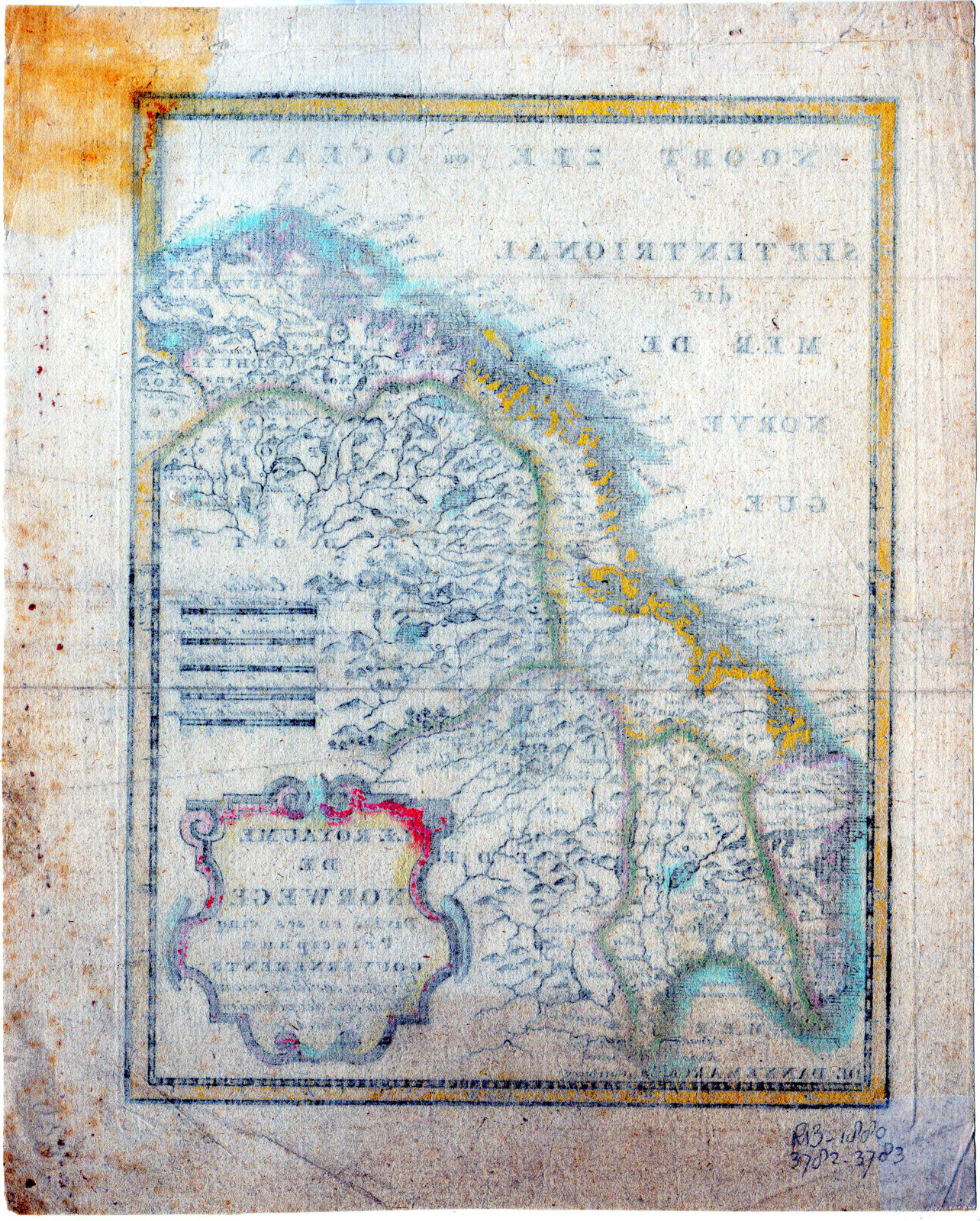
Condition: good, given age. Creases. Folds in lower corners and in middle. Holes in uppermargin due to bookbinding. Right margin brown spots. Waterstain upper rtight corner. General age-related toning and/or occasional minor defects from handling. Please study scan carefully.
MAP-EUROPE-NORWAY-SCANDINAVIA | RBOS-A10-38
BACKGROUND INFORMATION
This attractive print was published in Amsterdam in 1749 by Hendrik de Leth in “Nieuwe Geographische en Historische Atlas tot de gemakkelyke oefeninge der Geographie, (.).”.

Reviews
There are no reviews yet.