
 Print
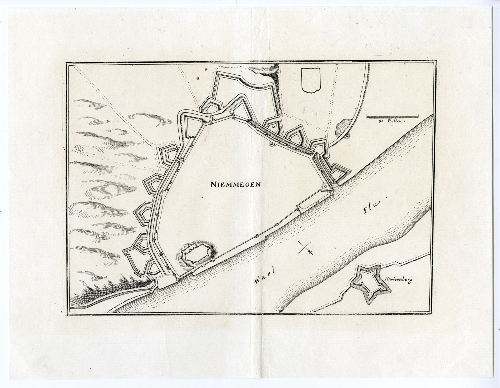
Print Description
Medium: Engraving/etching on hand laid (verge) paper.
Sheet size: 34 x 26 cm (13.39 x 10.24 inch). Image size: 25.5 x 17.8 cm. (10.04 x 7.01 inch).
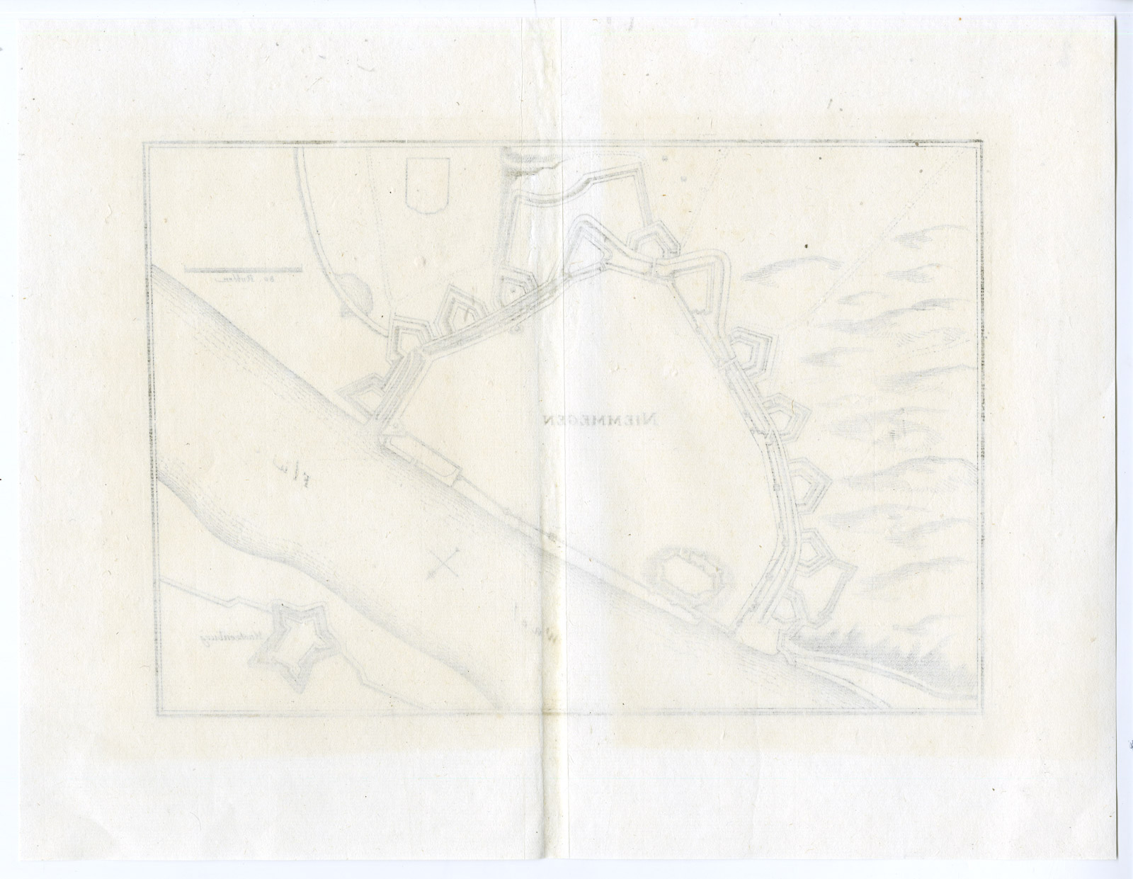
Condition: good, given age. Paper partly slightly browned. Original fold as issued. General age-related toning and/or occasional minor defects from handling. Please study scan carefully.
NIJMEGEN-PLAN-FORTRESS-NETHERLANDS | PCO-E10-38
BACKGROUND INFORMATION
This original antique plan originates from ‘Topographia Germaniae Inferioris (..)’ by C. Merian, published c. 1660.
Biography engraver: Caspar Merian (1627-1686) was one of the most important German topographical engravers and publishers in the Baroque period.

Reviews
There are no reviews yet.