
 Print
Print Description
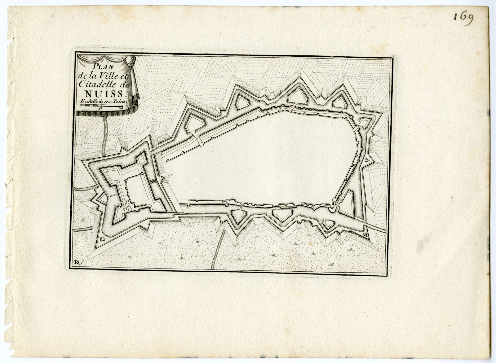
Medium: Engraving/etching on hand laid (verge) paper.
Sheet size: 24.4 x 17.7 cm (9.61 x 6.97 inch). Image size: 16 x 11 cm. (6.3 x 4.33 inch).
Condition: good, given age. Minor foxing. General age-related toning and/or occasional minor defects from handling. Please study scan carefully.
NEUSS-NUISS-PLAN-FORTRESS-GERMANY | E24-05
BACKGROUND INFORMATION
From: ‘Les Plans et Profils des principales Villes et lieux considerables du comte de Flandre. Avec les cartes generales et les particulieres de chaque gouvernement.’, a rare atlas of maps and views of the areas in the Southern Netherlands conquered by the French for the King of Spain. Although few atlasses are the same, this work can contain sections on Flandre (Flanders), Artois (Artesia), Haynaut (Hainaut), Luxembourg (Luxemburg), Anvers (Antwerp), Malines (Mechelen), Namur (Namen), Limbourg (Limburg), Liege (Luik), Cambresis (Cambray).
Biography artist: The author of this work is Sebastien de Pontault, chevalier de Beaulieu (c.1612-1674). The allegorical title pages in this work are made by the foremost 17th. c. Dutch engraver/etcher/illustrator Romeyn de Hooghe (1645-1708). The town views and plans are made by Adam Perelle (1640-1695) and others.
.

Reviews
There are no reviews yet.