
 Print
Description
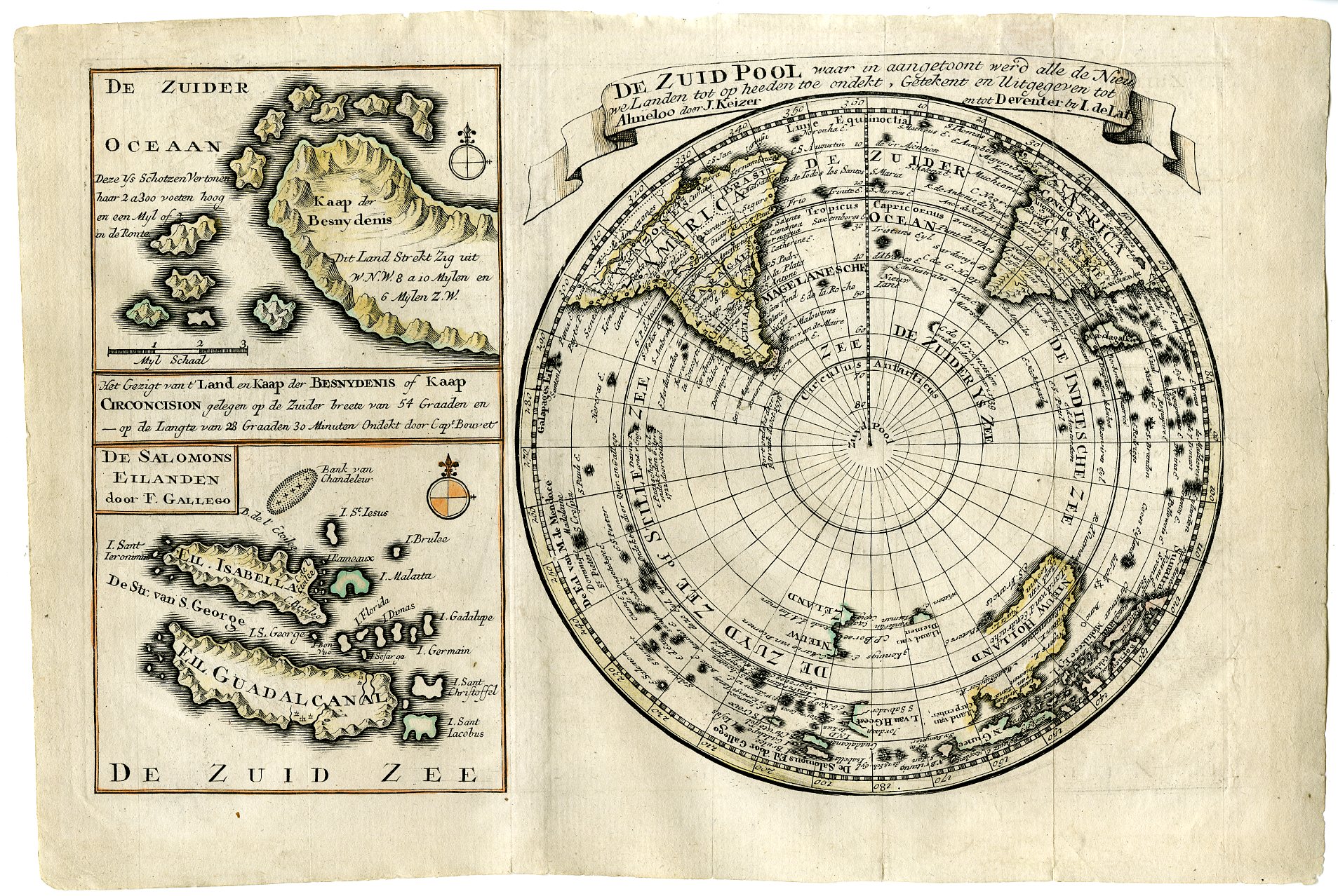
This print shows a view on a map of the Southern Hemisphere, and smal maps of the Solomon Islands and the Cape of Besny Denis.
Made by after an anonymous artist.
Medium: Etching / engraving on handlaid (verge) paper.
Sheet size: 31.5 x 21.7 cm (12.4 x 8.54 inch). Image size: 27 x 18.5 cm. (10.63 x 7.28 inch).
Condition: good, given age. General age-related toning and/or occasional minor defects from handling. Please study scan carefully.
MAP-SOUTHERN HEMISPHERE-ANTARCTICA-SOLOMON ISLANDS-CAPE OF BESNY DENIS | RBOS-A11-20
BACKGROUND INFORMATION
This attractive print was published by J. Keizer in Almelo and J. de Lat from Deventer, in 1735.
Provenance: With certificate of authenticity by A. van der Meer.
Biography engraver: O. Lindeman was an engraver from Almelo, Netherlands.

Reviews
There are no reviews yet.