
 Print
Print Description
Original colour lithographs. on paper.
Size in cm: The overall size is ca. 16 x 25 cm. The image size is ca. 14.5 x 21.5 cm. Size in inch: The overall size is ca. 6.3 x 9.8 inch. The image size is ca. 5.7 x 8.5 inch.
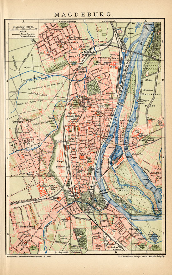
Map: ‘Magdeburg.’ (Magdeburg, Germany.)
This attractive original old antique print / plate originates from a famous German encyclopedia: ‘Brockhaus Konversations-Lexikon, 14. Auf.’, 1894 edition, published in Leipzig. Brockhaus was a major German encyclopedia that existed in various editions from 1808 on. In 1984 it merged with Meyers encyclopedia.
Artists and Engravers: The original founder and publisher who initiated this famous encyclopedia was Friedrich Arnold Brockhaus (1772-1823), a German encyclopedia publisher and editor, famed for publishing the Conversations-Lexikon, which is now published as the Brockhaus encyclopedia.
Condition: Excellent. General age related toning and occasional light staining from handling as visible on image.
Keywords: ANTIQUE MAP-MAGDEBURG-ELBE-GERMANY-BROCKHAUS
(PCOMAN) A179-01

Reviews
There are no reviews yet.